
Jordan Garmin topographic map
$29
Jordan topo map for Garmin
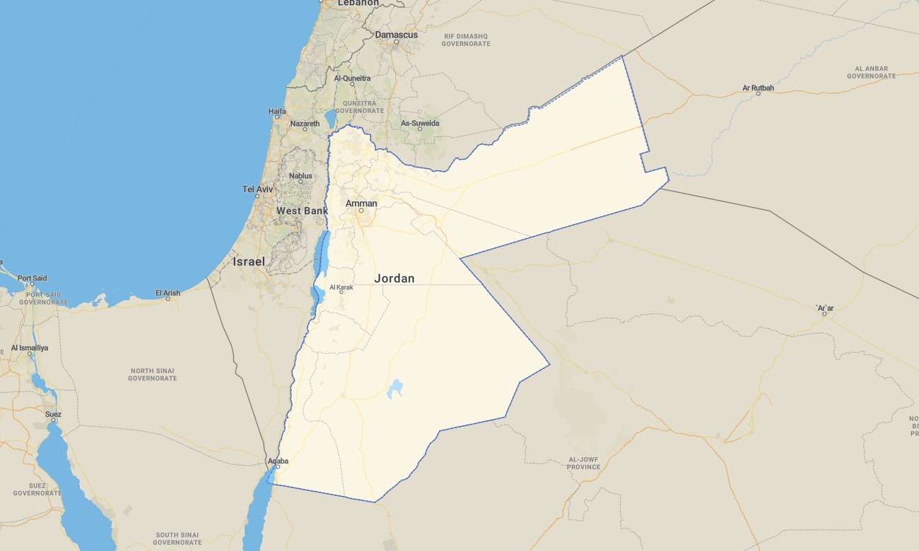
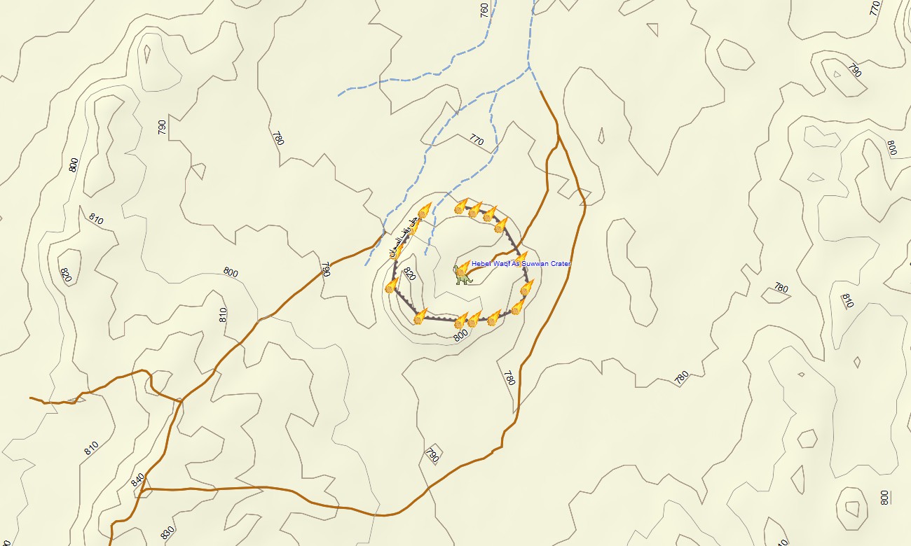
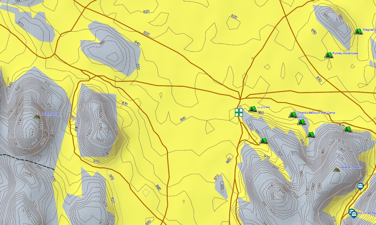
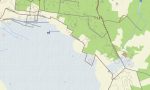
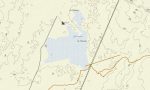
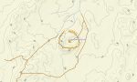
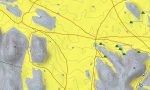
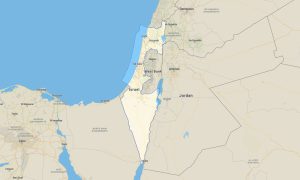
Experience Jordan’s deserts, canyons, and historical sites with a specialized topographic Garmin map designed for both road travel and hiking. This Garmin GPS map covers Amman, the Dead Sea, Petra, Wadi Rum, and remote desert highways, extending standard Garmin maps with OSM topographic maps for realistic relief. It is suitable for self-drive tours, trekking, and professional field missions.
Developed as an OSM map tourist Garmin resource, it supports visits to archaeological sites, desert camps, and canyon hiking routes. These outdoor maps Garmin travelers rely on function fully offline, so your Garmin map stays active in remote wadis and dune fields without coverage.
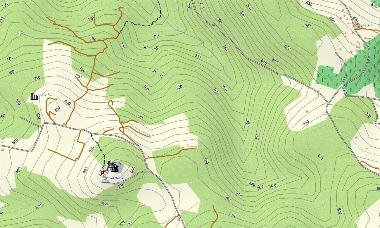
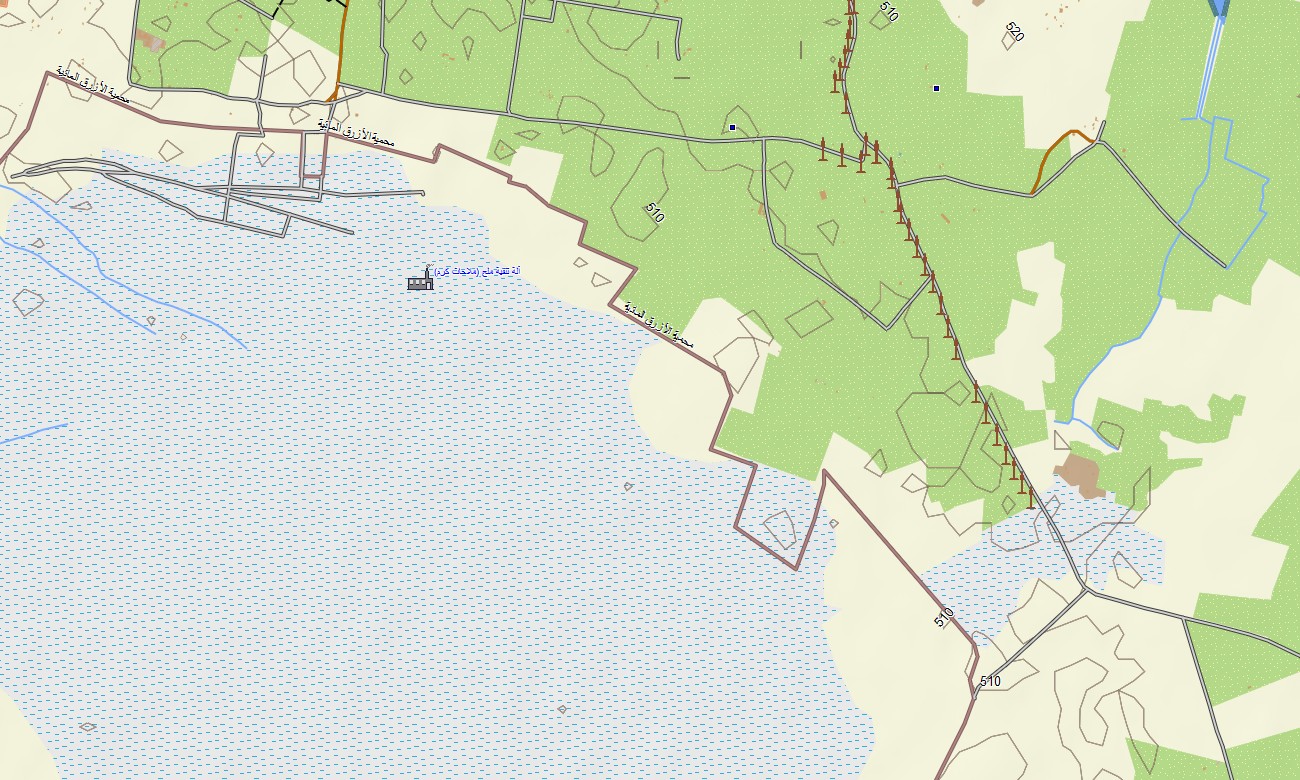
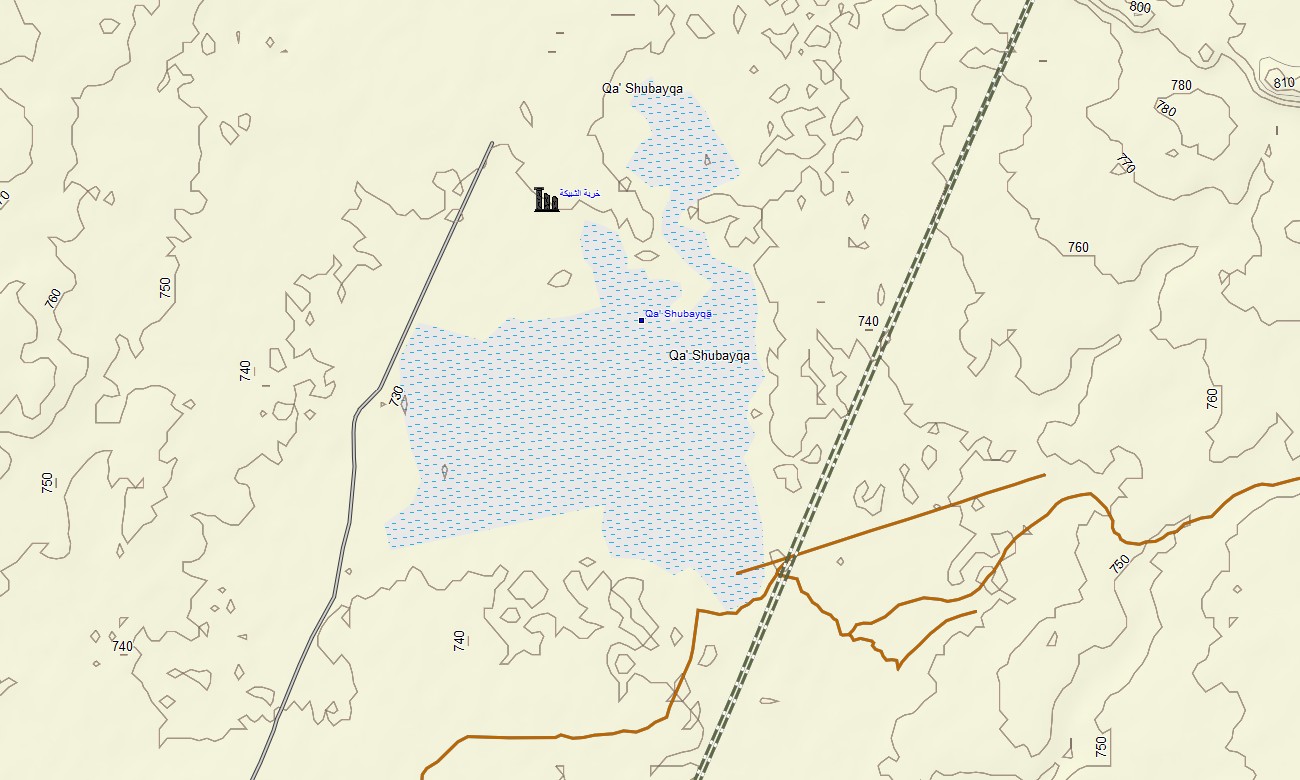
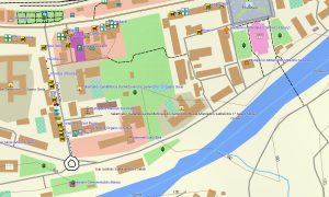
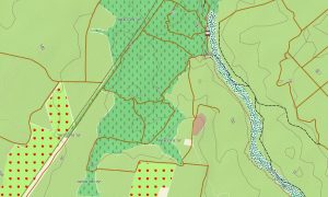
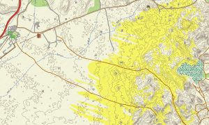
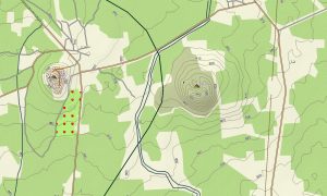
A simple download Garmin map link delivers the Garmin OSM maps package after purchase. As an OSM topo map, it combines contour lines, wadis, cliffs, jeep tracks, trails, and road networks. Open street maps Garmin layers bring accurate streets, towns, and service points, while OSM topographic maps show the relief needed for desert navigation. Routing-ready maps for Garmin navigator devices guide users along highways, scenic byways, and access roads to natural attractions. The same Garmin GPS map can be used for rental-car tours and backcountry planning.
On supported wearables, the map can also be loaded as a map for Garmin watch for trekking and trail running. Following OSM topo map lines on the wrist helps maintain orientation in open desert terrain. Combined layers of transport, relief, hydrology, and land cover make topographic maps for Garmin an excellent tool for planning safe, efficient routes across Jordan. Ongoing Garmin maps updates keep new roads, camps, and tourism points of interest current.
Key Features:
- Topographic maps for Garmin covering Jordan with highways, regional roads, desert tracks, canyon paths, hiking trails, rivers, wadis, and elevation contours
- Natural features such as desert plateaus, sand dunes, rocky massifs, canyons, the Dead Sea shore, and highlands are depicted on the OSM topographic maps
- OSM topo map data helps users recognize elevation changes, cliff lines, and safe approach routes in desert and mountain environments
- Open street maps Garmin layers contribute detailed city mapping for Amman, Aqaba, and regional towns, plus service locations on major routes
- Routing on maps for Garmin navigator units supports self-drive tours, transfers to trailheads, and regional logistics
- Outdoor maps Garmin options let users download Garmin map tiles for particular regions like Wadi Rum or Petra
- Garmin OSM maps are compatible with handheld GPS units and can act as a map for Garmin watch on supported outdoor models
- The Garmin map, based on an OSM map tourist Garmin foundation, transforms the Garmin GPS map into a versatile companion for tourism, guiding, and exploration throughout Jordan
Only logged in customers who have purchased this product may leave a review.
Reviews
There are no reviews yet.