

Nepal Garmin topographic map
$29
Nepal topo map for Garmin
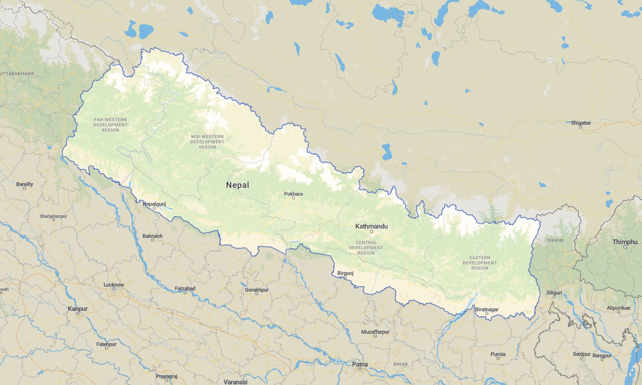
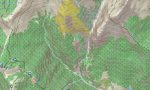
Explore Nepal’s world-famous Himalayan trails, mid-hill regions, and lowland Terai with a high-detail topographic Garmin map built for serious mountain travel. This Garmin GPS map covers Kathmandu Valley, Annapurna, Everest regions, Langtang, western ranges, and the southern plains, transforming basic Garmin maps into a mountaineering-grade navigation aid through OSM topographic maps.
Conceived as an OSM map tourist Garmin resource, it supports classic treks, peak approaches, cultural tours, and jungle safaris in national parks. These outdoor maps Garmin adventurers rely on operate fully offline, so your Garmin map remains dependable in deep valleys, high passes, and remote villages with no network coverage.
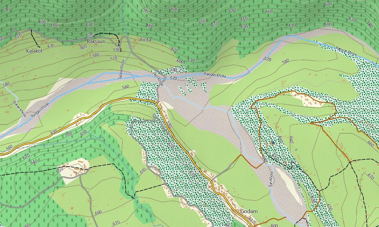
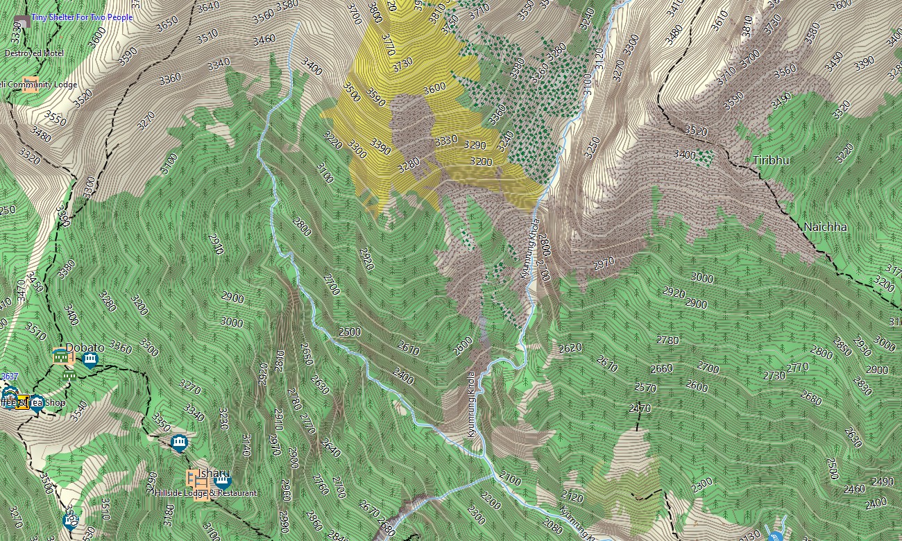
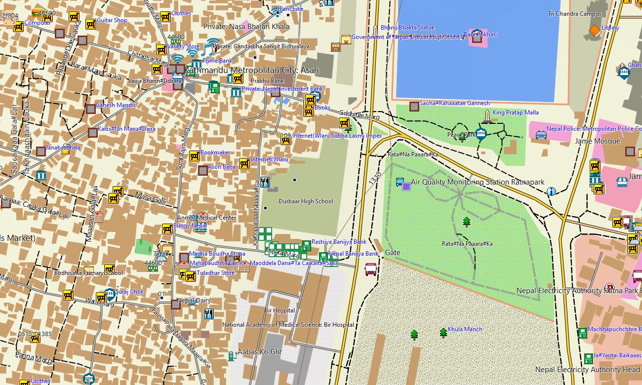
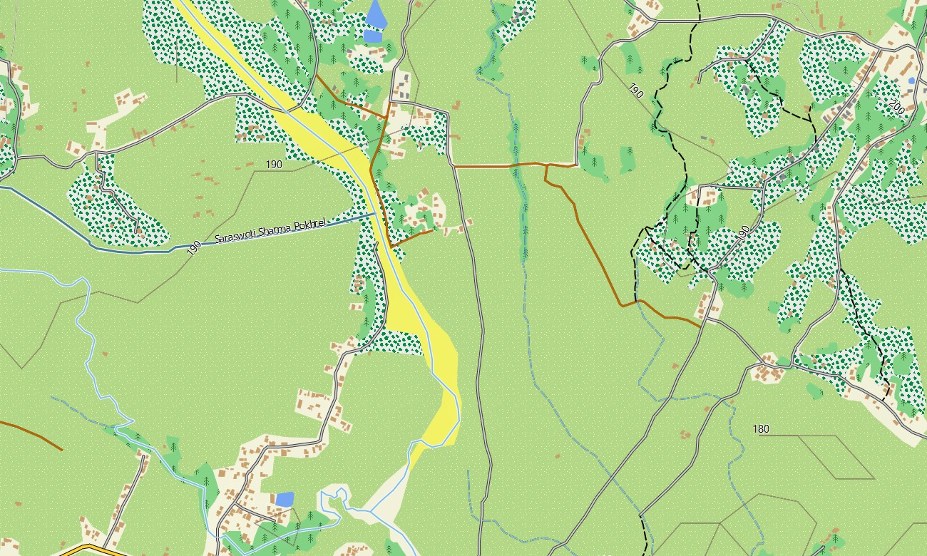
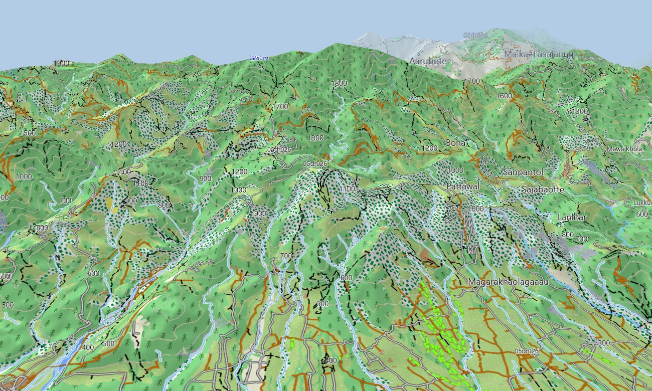
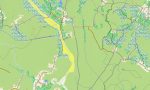
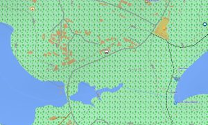
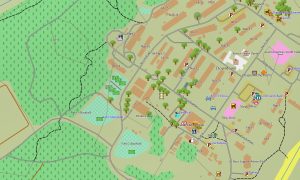
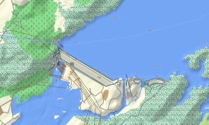
As a finely detailed OSM topo map, it integrates tight contour lines, ridge crests, glaciers, moraines, rivers, suspension bridges, mule tracks, and trekking paths. Open street maps Garmin layers contribute streets, bus routes, and infrastructure in towns, while OSM topographic maps provide the gradient insight necessary for altitude planning and risk assessment. Routing-capable maps for Garmin navigator devices can assist with vehicle approaches on highways and jeep roads up to trailheads where routing data supports it. The same Garmin GPS map then serves as a topographic reference for foot travel beyond the road head.
Garmin OSM maps may be installed as a map for Garmin watch on compatible mountaineering and trail-running watches. Trekkers and guides can follow OSM topo map lines, altitude changes, and river crossings directly from the wrist in demanding conditions. Combined layers of relief, hydrology, trails, and settlements make topographic maps for Garmin indispensable for planning safe and efficient Himalayan itineraries as well as off-season exploration in lesser-known areas. Delivered as downloadable Garmin maps, the Nepal product is accessed via a download Garmin map link and updated periodically with improved paths, bridges, and points of interest.
Key Features:
- Topographic maps for Garmin covering Nepal with main roads, jeep tracks, trekking routes, local paths, rivers, streams, glaciers, and detailed elevation contours
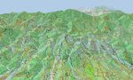
- Natural features such as the high Himalaya, mid-hill ridges, deep gorges, glacial valleys, and Terai lowlands are clearly portrayed on the OSM topographic maps
- OSM topo map data helps users evaluate ascent profiles, pass approaches, and potential high-camp locations crucial for safe trekking
- Open street maps Garmin layers provide urban detail for Kathmandu, Pokhara, and other towns, including transport hubs and services
- Routing on maps for Garmin navigator units supports highway and road travel to trailheads and regional centers with offline navigation
- Outdoor maps Garmin users can download Garmin map subsets specific to trekking regions like Everest, Annapurna, or Langtang
- Garmin OSM maps operate on handheld GPS receivers and can act as a map for Garmin watch on supported mountaineering and trail-running models
- The Garmin map, created as an OSM map tourist Garmin solution, turns the Garmin GPS map into a trusted companion for trekking, guiding, and exploration across Nepal
Only logged in customers who have purchased this product may leave a review.


Reviews
There are no reviews yet.