
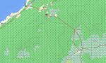
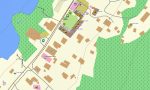
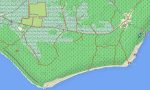
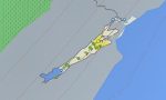
Niue Garmin topographic map
$22
Niue topo map for Garmin
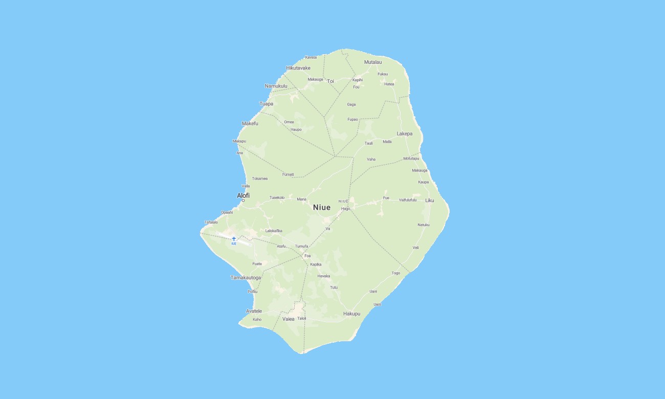
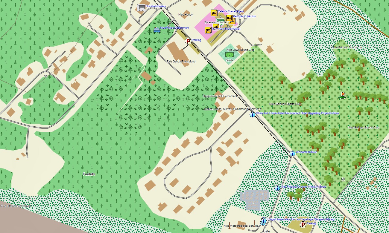
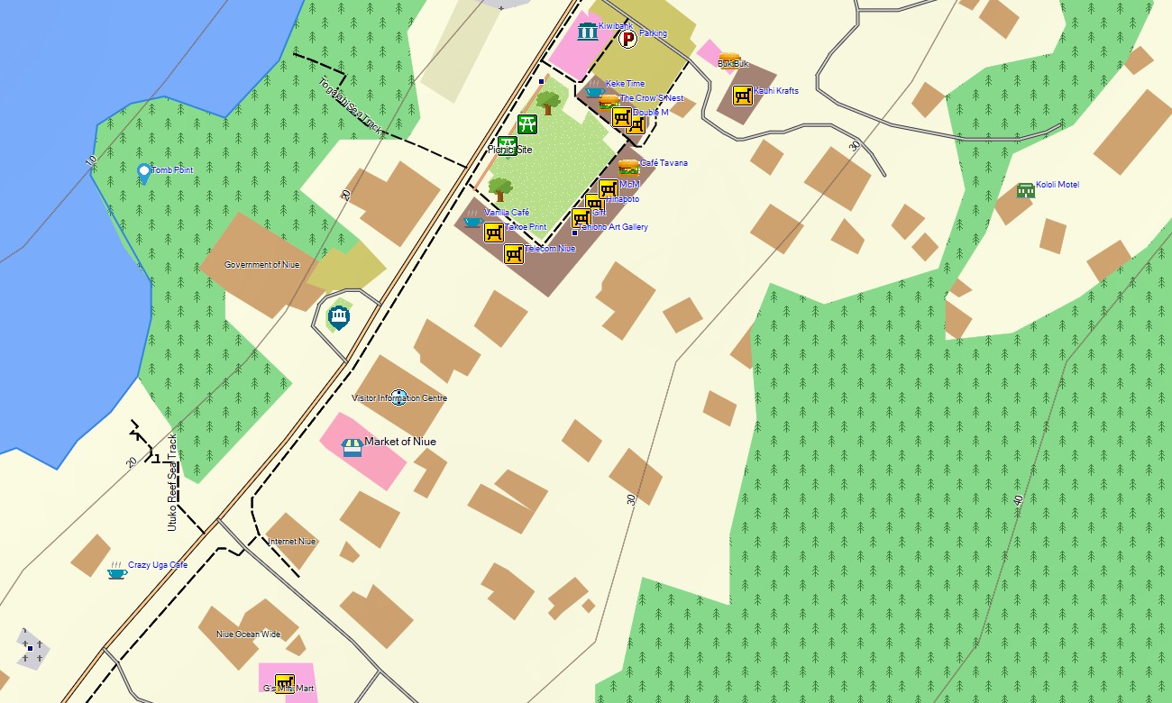
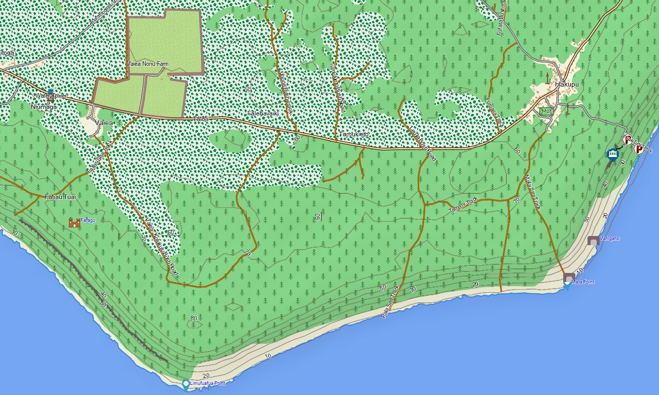
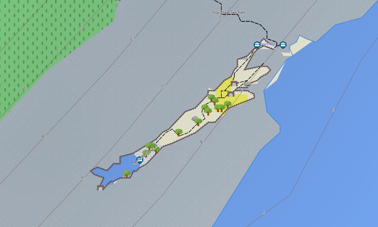
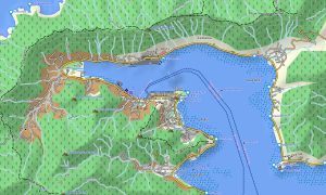
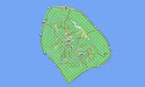
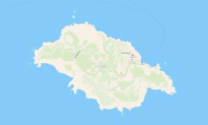
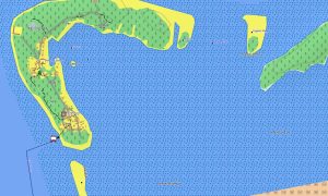
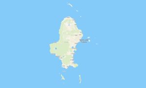
Discover Niue with Garmin maps designed for a raised coral island, coastal access roads, sea tracks, caves, villages, forest paths, and compact offline navigation. This Garmin GPS map covers Alofi, village roads, airport surroundings, coastal viewpoints, reef access points, and mapped inland areas.
Created as an OSM map tourist Garmin resource, it supports cycling around the island, walking to chasms, visiting sea caves, driving village routes, and exploring natural landmarks. These outdoor maps Garmin users rely on include roads, paths, coastlines, beaches, caves, cliffs, settlements, services, and viewpoints.
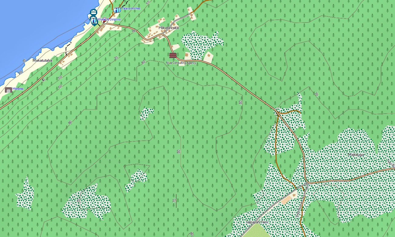
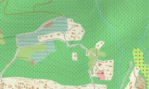
This Garmin GPS map functions as an OSM topo map based on open street maps Garmin compatible data with available elevation contours and terrain information. OSM topographic maps help interpret limestone terraces, forest tracks, coastal cliffs, reef platforms, cave entrances, and sea access routes.
Maps for Garmin navigator devices assist local driving where routing data is present, and a map for Garmin watch supports walking, running, and cycling. Users can download Garmin map files before travel, keeping Garmin OSM maps available without mobile coverage.
The Garmin map is tailored for a small island where detailed local features matter more than long road distances. These topographic maps for Garmin help travelers locate trails, village links, viewpoints, and rugged coastline safely.
Key Features:
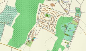
- Topographic maps for Garmin cover Niue with island roads, village streets, walking paths, coastlines, cliffs, caves, reef access points, airport roads, services, and elevation contours
- Natural features include raised coral terraces, limestone caves, sea chasms, reef platforms, coastal cliffs, forest areas, beaches, coves, blowholes, and ocean-facing headlands
- Transport coverage includes the island ring road, village connections, airport access, coastal access roads, service tracks, inland routes, and selected mapped footpaths
- Points of interest include Alofi facilities, villages, churches, schools, caves, chasms, viewpoints, beaches, reef pools, airport facilities, cultural sites, and natural landmarks
- Routing support is available on compatible Garmin devices where local road data allows navigation and guidance
- Compatibility includes handheld GPS units, automotive navigators, outdoor Garmin devices, maps for Garmin navigator models, and supported devices requiring a map for Garmin watch
Only logged in customers who have purchased this product may leave a review.


Reviews
There are no reviews yet.