





Sri Lanka Garmin topographic map
$29
Sri Lanka topo map for Garmin
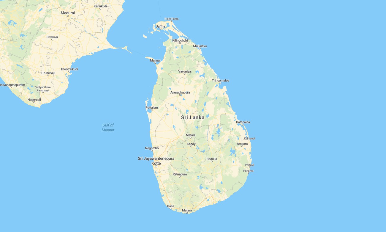
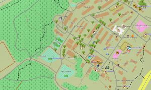
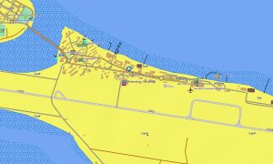
Explore Sri Lanka’s coastal plains, tea-covered highlands, and rainforest reserves with a country-wide topographic Garmin map. This detailed Garmin GPS map covers Colombo, the Cultural Triangle, the Hill Country, and national parks, extending standard Garmin maps with OSM topographic maps that clarify terrain, rivers, and trails.
Designed as an OSM map tourist Garmin solution, it supports self-drive trips, rail-to-hike excursions, wildlife safaris, and heritage tours. These outdoor maps Garmin travelers rely on work fully offline, so your Garmin map remains available in mountain valleys, jungle tracks, and rural backroads without mobile coverage.
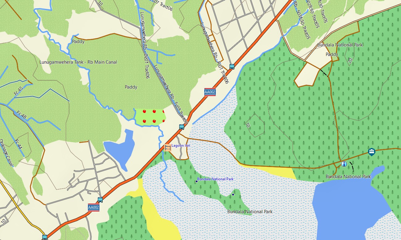
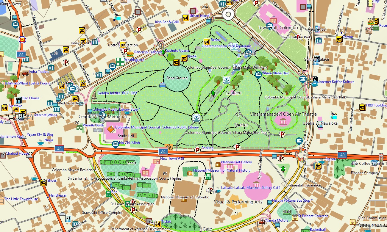
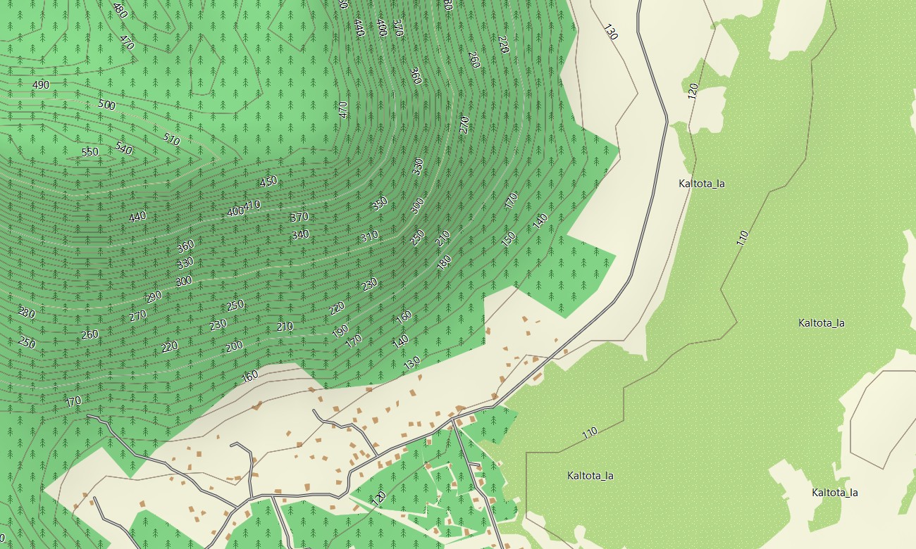
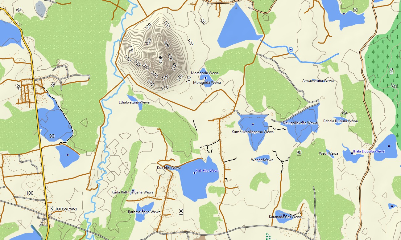
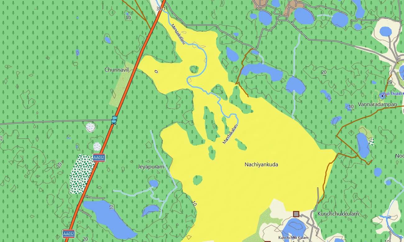
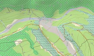
As a comprehensive OSM topo map, it merges contour lines, ridge lines, river systems, irrigation canals, estate roads, and footpaths. Open street maps Garmin layers contribute detailed city streets, ports, and industrial zones, while OSM topographic maps reveal slopes and escarpments important for planning hill walks and cycling routes. Routing-ready maps for Garmin navigator devices calculate journeys along national highways, regional roads, and urban networks. With a single Garmin GPS map, users can manage airport transfers, scenic road trips, and access routes to remote guesthouses.
Garmin OSM maps can be installed as a map for Garmin watch on compatible hiking, running, and cycling watches. Athletes and trekkers can follow OSM topo map routes, contour lines, and waypoints from the wrist while exploring hill stations and coastal areas. Layered cartography integrates transport networks, relief, hydrology, land cover hints, and settlements into one Garmin map, making topographic maps for Garmin a powerful tool for eco-tourism, fieldwork, and outdoor recreation in Sri Lanka. Supplied as downloadable Garmin maps, the Sri Lanka product is accessed via a download Garmin map link and updated periodically with improved roads, paths, and points of interest.
Key Features:
- Topographic maps for Garmin covering Sri Lanka with highways, regional roads, estate tracks, village paths, hiking trails, rivers, canals, lakes, and elevation contours
- Natural features such as tea-covered highlands, rainforests, dry-zone plains, coastal lagoons, and waterfalls are displayed on the OSM topographic maps
- OSM topo map data helps users assess gradients, ridge lines, and valley systems for trekking, cycling, and backroad driving
- Open street maps Garmin layers provide detailed city mapping for Colombo, Kandy, Galle, Jaffna, and other towns
- Routing on maps for Garmin navigator units supports self-drive tours, delivery routes, and long-distance bus corridors with offline guidance
- Outdoor maps Garmin users can download Garmin map subsets for specific regions or activity areas to optimize handheld storage
- Garmin OSM maps run on compatible handheld GPS receivers and can be installed as a map for Garmin watch on selected models
- The Garmin map, built on an OSM map tourist Garmin foundation, turns the Garmin GPS map into a versatile companion for cultural travel and outdoor adventures across Sri Lanka
Only logged in customers who have purchased this product may leave a review.

Reviews
There are no reviews yet.