


Sweden Garmin topographic map
$32
Sweden topo map for Garmin
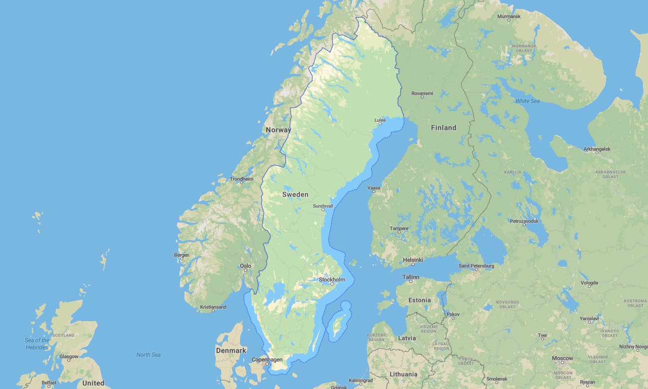
Explore Sweden’s forests, lakes, Baltic coastline, Arctic north, islands, cities, and long-distance roads with detailed Garmin maps designed for reliable offline navigation. This Garmin GPS map covers Stockholm, Gothenburg, Malmö, Uppsala, Lapland, Gotland, the High Coast, national parks, rural regions, and remote northern routes.
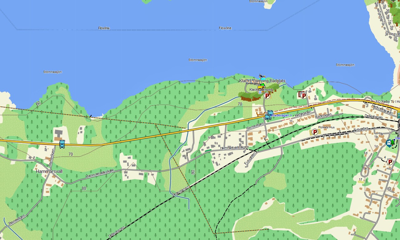
Created as a versatile OSM map tourist Garmin solution, the map supports hiking, cycling, road trips, campervan travel, ski access, fishing routes, and wilderness exploration. These outdoor maps Garmin users trust include roads, trails, rivers, lakes, shelters, ferry links, villages, viewpoints, and natural landmarks.
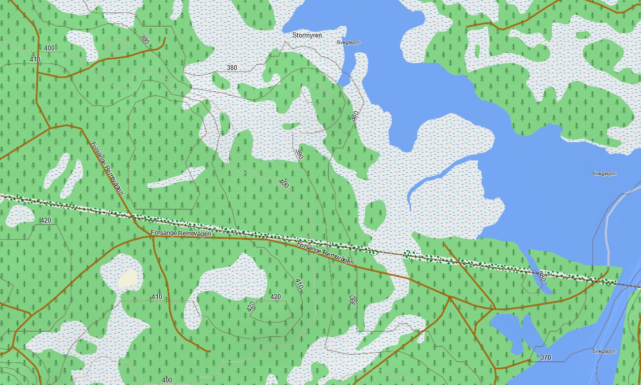
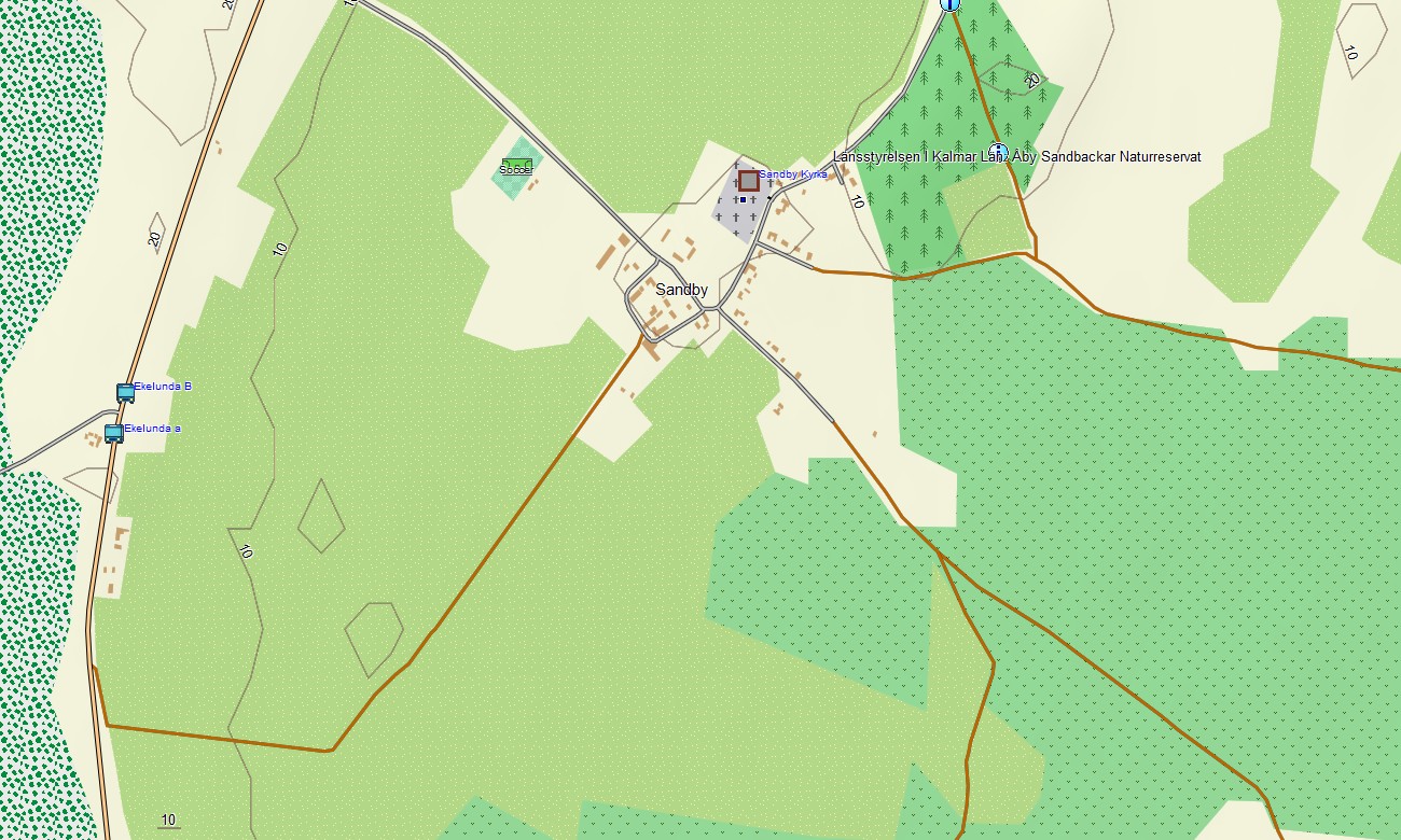
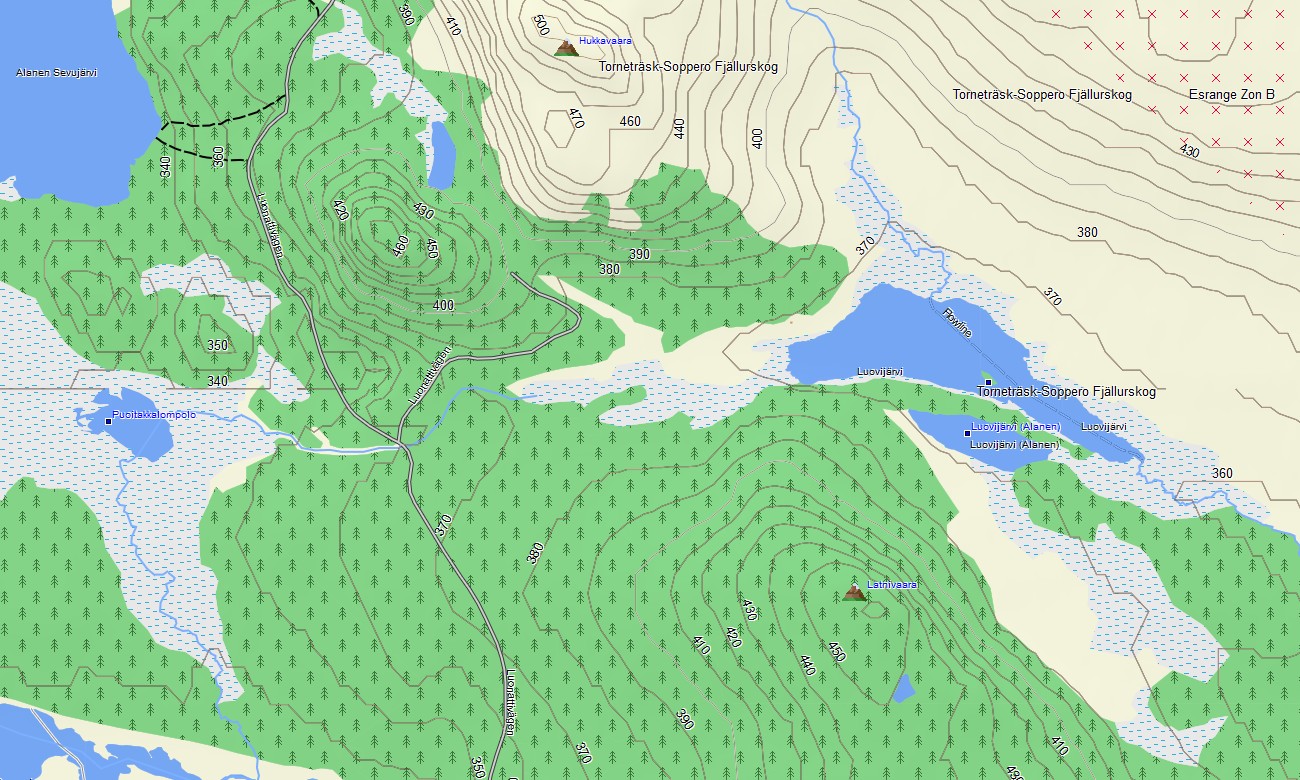
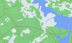
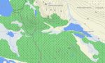
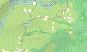
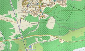
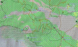
This Garmin GPS map works as a detailed OSM topo map, showing elevation contours, forests, wetlands, mountains, archipelagos, rivers, tracks, and settlement layers. The Garmin map is especially useful in Swedish Lapland, Sarek, Abisko, Dalarna, and coastal island regions where offline orientation is essential.
Based on open street maps Garmin compatible data, the product provides strong detail for both urban travel and remote outdoor navigation. After purchase, users can download Garmin map files instantly, while Garmin OSM maps updates help keep roads, paths, and points of interest current.
Maps for Garmin navigator devices support long-distance driving, rural travel, ferry approaches, and access to cabins, trailheads, lakes, and national parks. A map for Garmin watch is convenient for hikers, runners, cyclists, and skiers following outdoor routes.
Key Features:
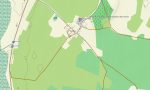
- Topographic maps for Garmin covering Sweden include roads, tracks, hiking trails, rivers, lakes, wetlands, forests, islands, settlements, and elevation contours
- Natural features include Lapland mountains, boreal forests, archipelagos, Baltic coast, lakes, rivers, wetlands, rocky ridges, highlands, and protected wilderness areas
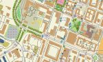
- Road coverage includes motorways, national roads, regional roads, city streets, gravel roads, forest access routes, bridges, ferries, and northern corridors
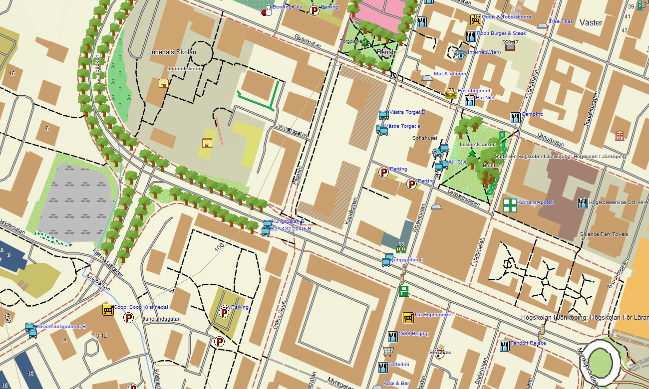
- Points of interest include national parks, cabins, campsites, viewpoints, ski areas, harbors, lighthouses, museums, old towns, shelters, and nature reserves
- Routing support helps compatible maps for Garmin navigator devices guide road trips, rural travel, ferry-connected routes, and wilderness access
- Full compatibility is available for handheld Garmin GPS units, automotive devices, outdoor navigators, and supported models using a map for Garmin watch with OSM topographic maps
Only logged in customers who have purchased this product may leave a review.


Reviews
There are no reviews yet.