
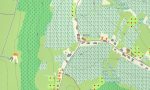
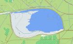
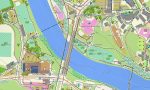
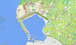


Slovenia Garmin topographic map
$29
Slovenia topo map for Garmin
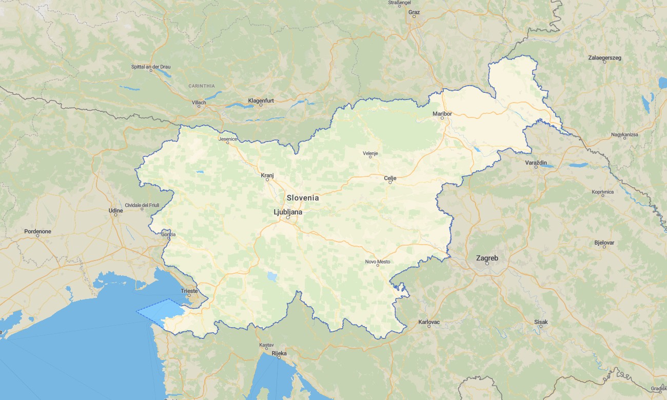
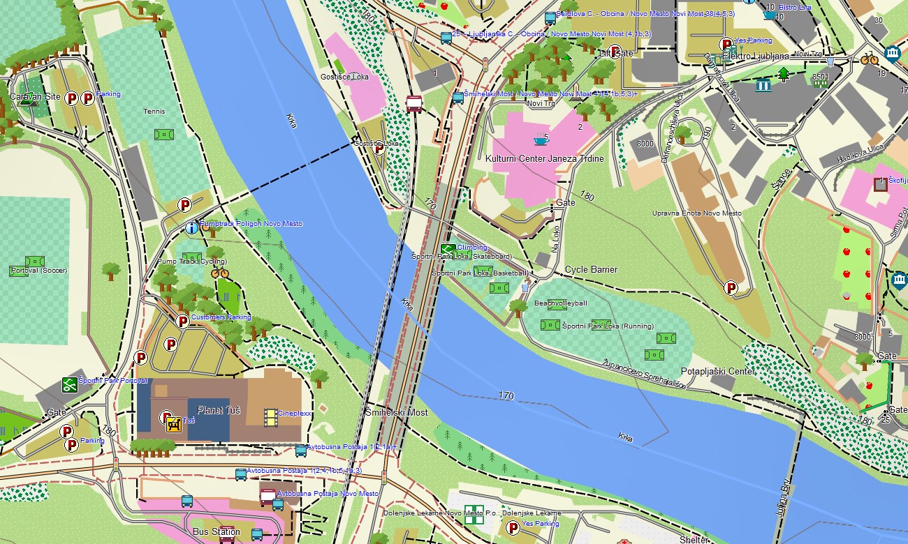
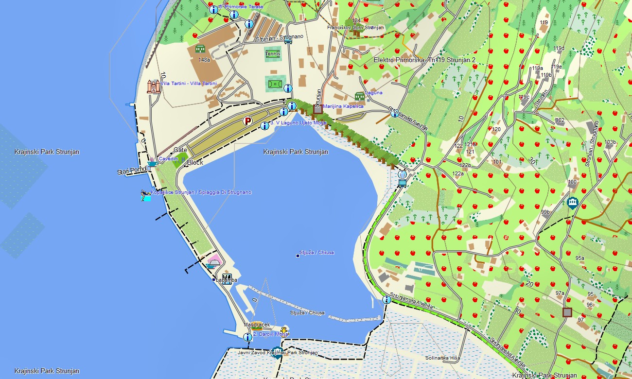
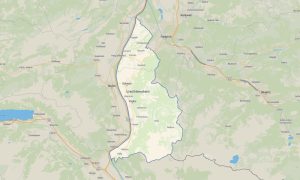
Navigate Slovenia’s Alpine peaks, emerald rivers, karst caves, vineyards, forests, historic towns, and Adriatic coast with detailed Garmin maps for offline travel. This Garmin GPS map covers Ljubljana, Maribor, Bled, Bohinj, Koper, Piran, the Julian Alps, Triglav National Park, Soča Valley, and border areas.
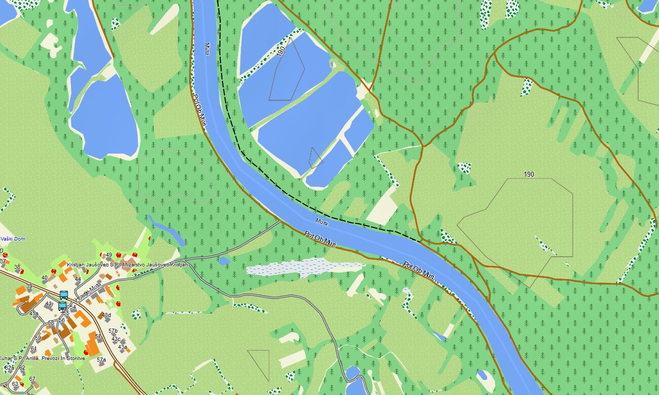
Built as a high-quality OSM map tourist Garmin resource, the map supports hiking, cycling, road trips, campervan routes, climbing access, cultural travel, and coastal exploration. These outdoor maps Garmin users rely on include roads, trails, rivers, lakes, caves, mountain huts, villages, and viewpoints.
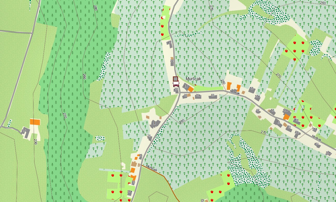
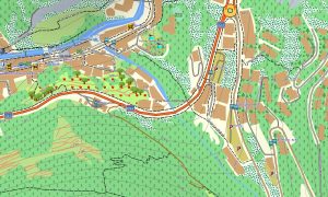
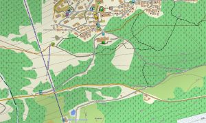
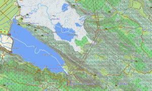
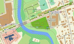
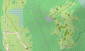
This Garmin GPS map works as an OSM topo map with elevation contours, ridges, valleys, karst terrain, forests, rivers, mountain passes, and settlement layers. The Garmin map is especially helpful in Triglav, the Karavanks, Kamnik-Savinja Alps, and the Soča region.
Created from open street maps Garmin compatible data, the product provides excellent detail for compact but varied landscapes. Users can download Garmin map files instantly after purchase, while updated Garmin OSM maps help keep trails, roads, and tourist points accurate.
Maps for Garmin navigator devices support road travel, alpine access, rural routes, and navigation between lakes, caves, towns, and natural attractions. A map for Garmin watch is ideal for hikers, runners, cyclists, and outdoor enthusiasts exploring Slovenia’s marked trails.
Key Features:
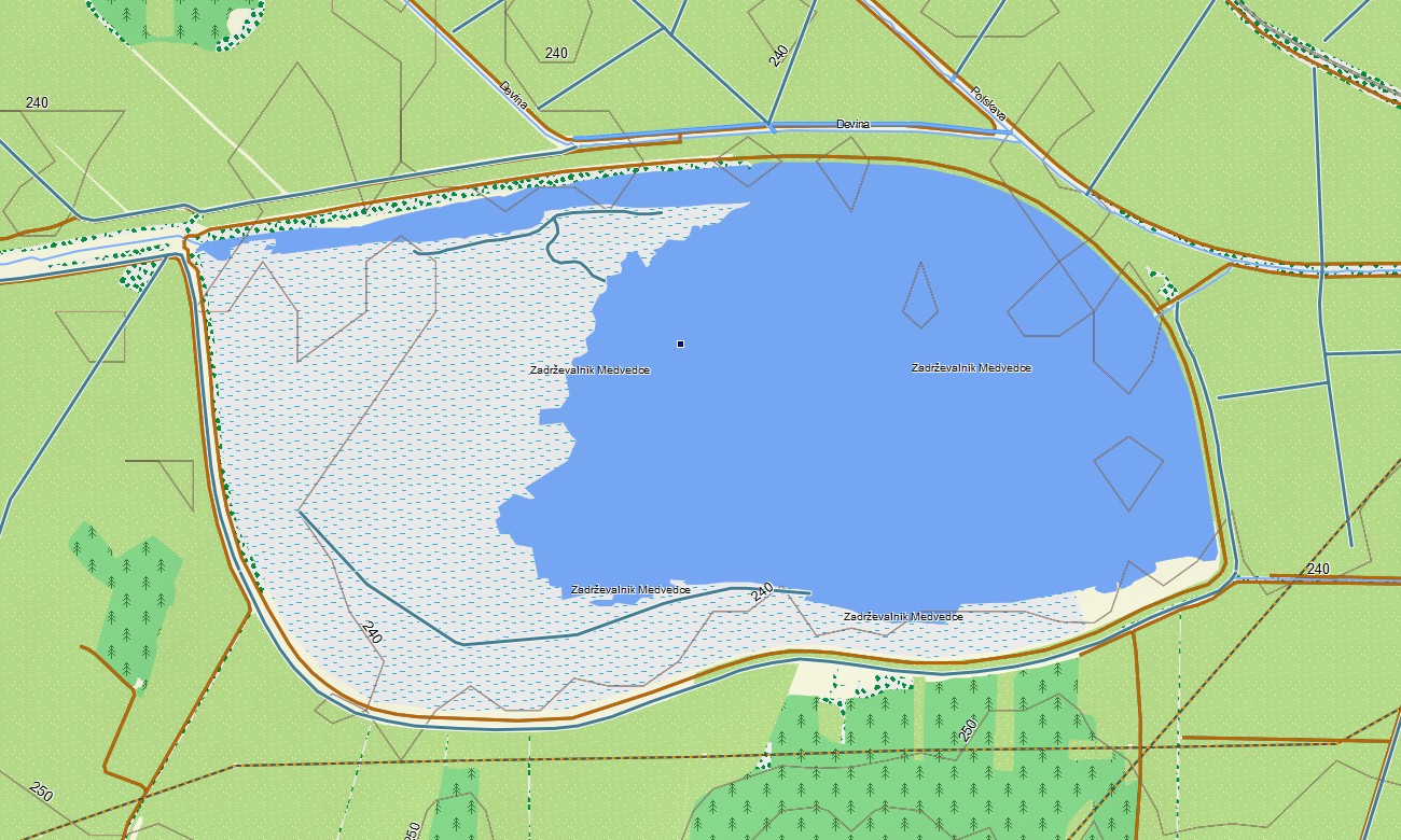
- Topographic maps for Garmin covering Slovenia include roads, tracks, hiking trails, rivers, lakes, caves, forests, villages, coastline, and elevation contours
- Natural features include the Julian Alps, Triglav, Soča River, Lake Bled, karst caves, Adriatic coast, forests, vineyards, valleys, and mountain passes
- Road coverage includes motorways, regional roads, city streets, rural lanes, mountain roads, tunnels, bridges, border crossings, and coastal routes
- Points of interest include castles, caves, old towns, mountain huts, ski areas, viewpoints, campsites, lakes, monasteries, beaches, and national parks
- Routing support helps compatible maps for Garmin navigator devices guide travelers across alpine roads, cities, countryside, and cross-border routes
- Full compatibility is available for handheld Garmin GPS units, automotive Garmin devices, outdoor navigators, and supported models using a map for Garmin watch with OSM topographic maps
Only logged in customers who have purchased this product may leave a review.




Reviews
There are no reviews yet.