
Belgium Garmin topographic map
$29
Belgium topo map for Garmin
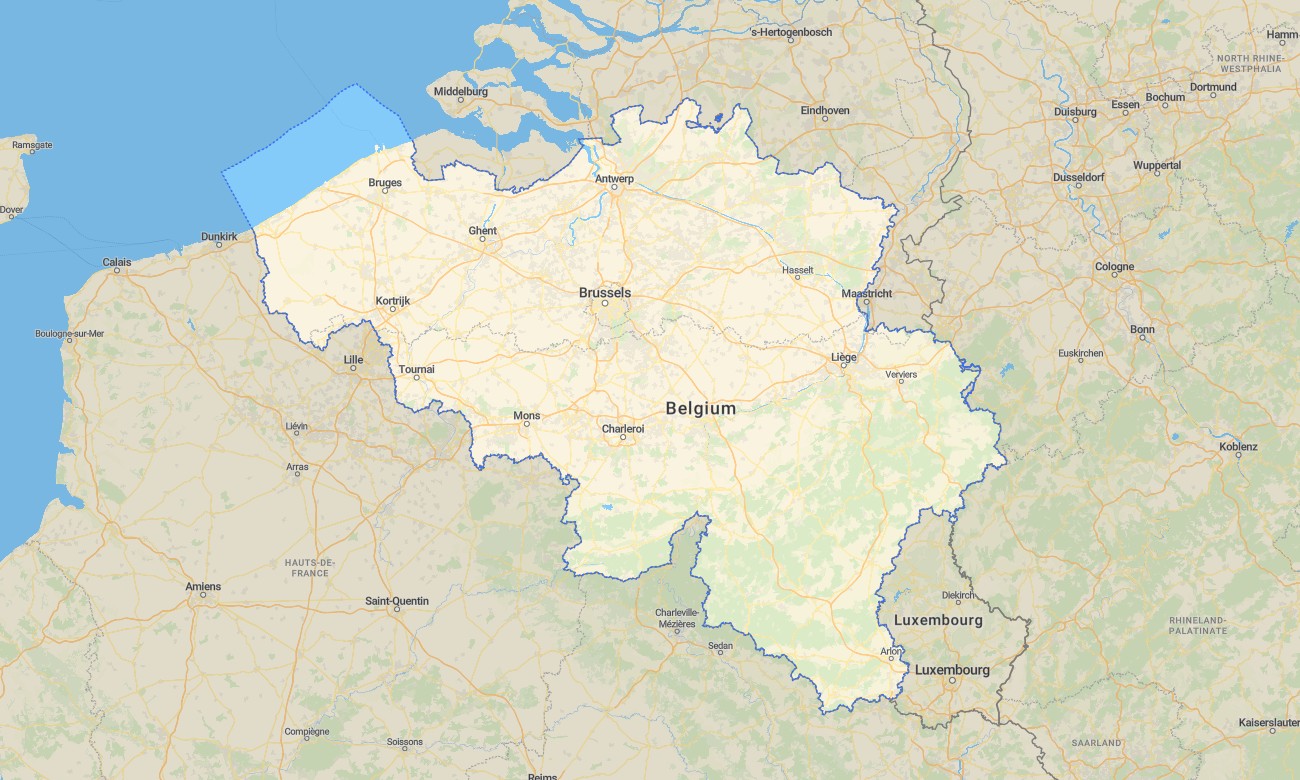
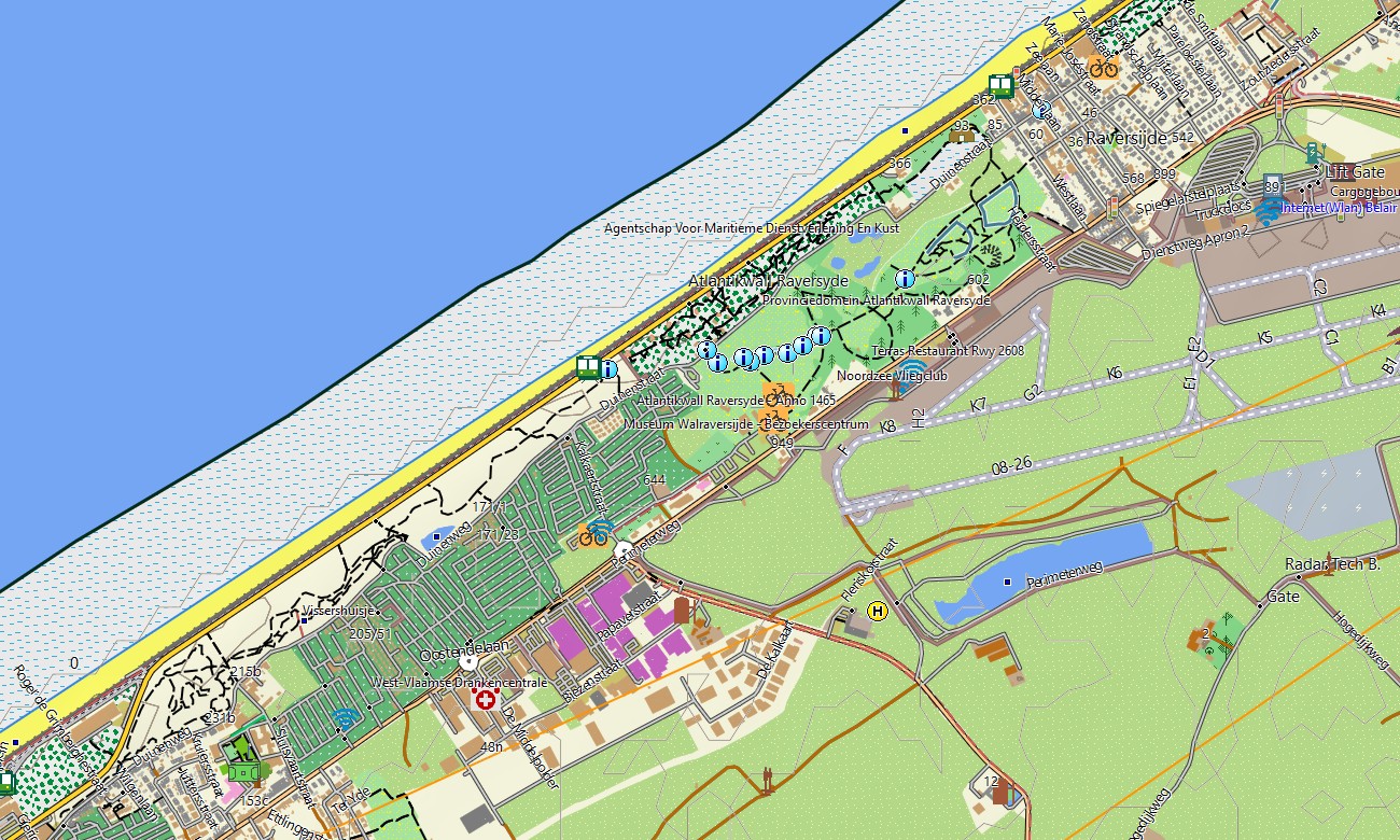
Explore Belgium’s dense road network, historic cities, cycling routes, forests, canals, and coastal areas with accurate Garmin maps for offline navigation. This Garmin GPS map covers Brussels, Antwerp, Bruges, Ghent, Liège, the Ardennes, Flanders, Wallonia, and the North Sea coast for tourism, commuting, and outdoor travel.
Designed as an OSM map tourist Garmin solution, the map is useful for city walking, bicycle touring, campervan routes, weekend hiking, and cross-border travel to France, the Netherlands, Germany, and Luxembourg. These outdoor maps Garmin travelers depend on include minor roads, paths, waterways, forests, parks, and tourist landmarks.
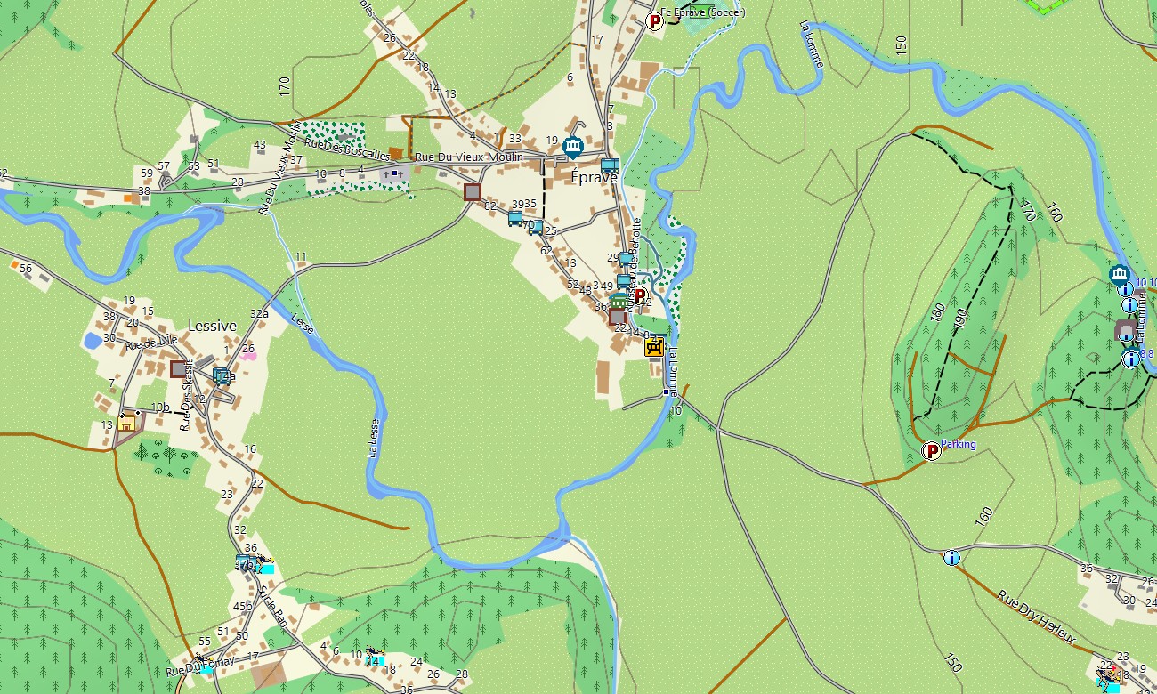
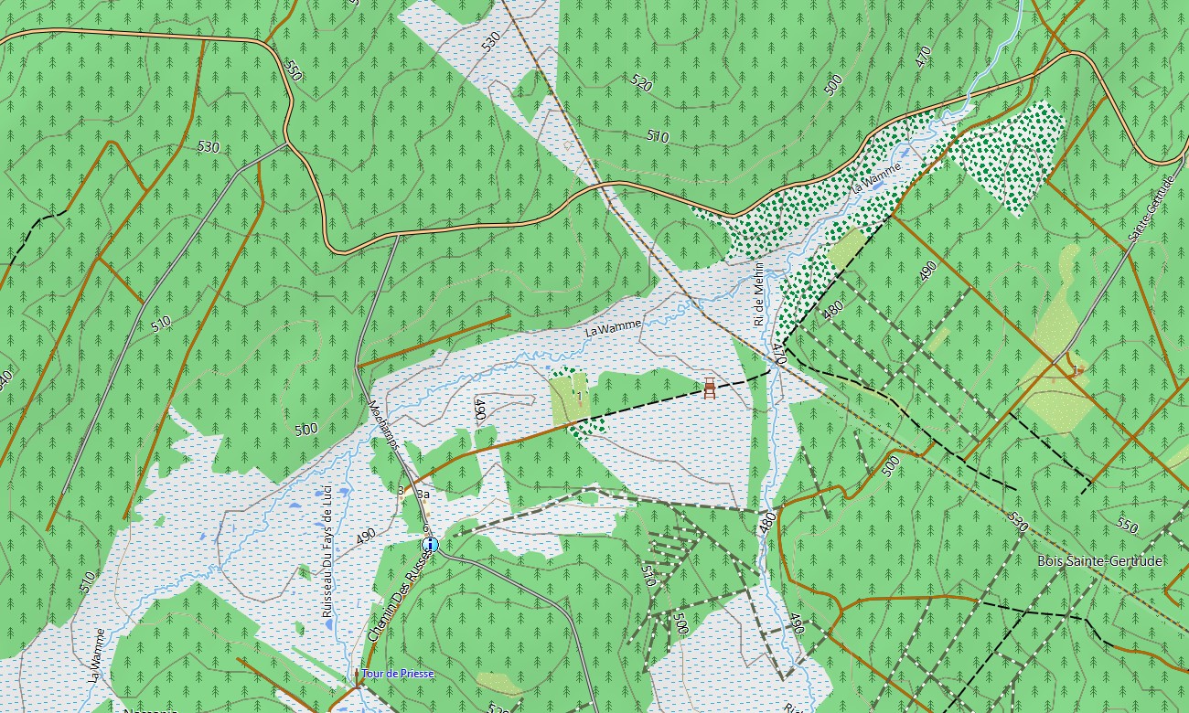
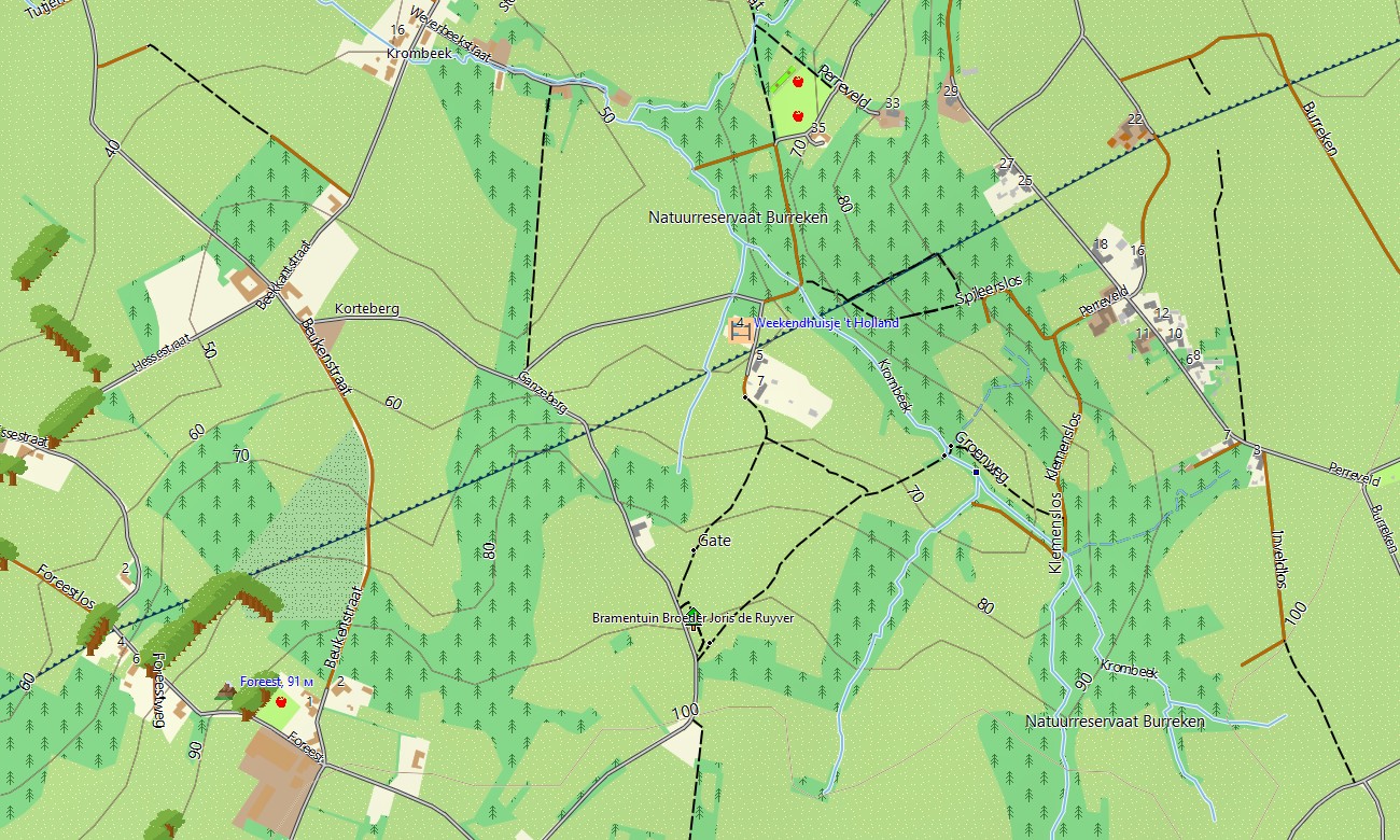
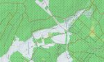
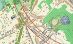
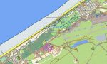
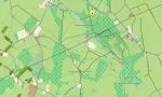
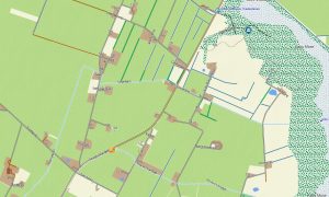
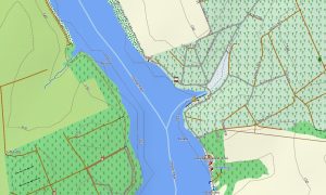
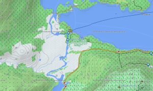
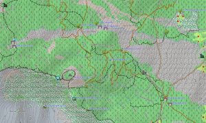
This Garmin GPS map operates as a detailed OSM topo map, showing elevation contours, river valleys, urban street grids, rural lanes, greenways, and woodland trails. The Garmin map is particularly valuable in the Ardennes, where terrain details assist hikers and cyclists on rolling hills and forest routes.
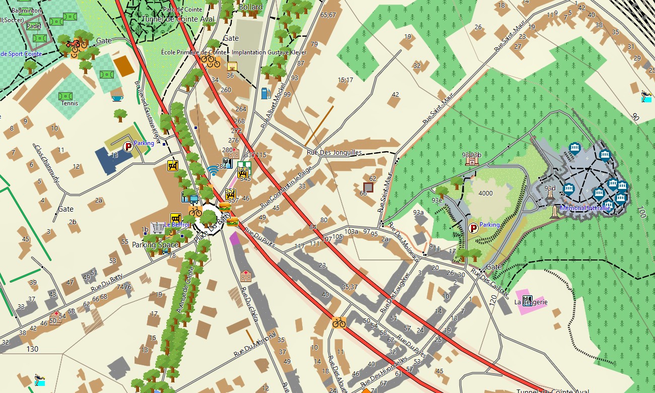
Based on open street maps Garmin compatible data, the product provides excellent local detail for both cities and countryside. With an instant download Garmin map option, users can install the map quickly. Updated Garmin OSM maps help keep cycle paths, roads, and urban infrastructure current.
Maps for Garmin navigator devices support driving, cycling, touring, and route planning through Belgium’s complex transport system. A map for Garmin watch is ideal for runners, walkers, and cyclists who need compact navigation during urban training or outdoor trips.
Key Features:
- Topographic maps for Garmin covering Belgium include roads, cycleways, footpaths, canals, rivers, parks, forests, settlements, coastline, and elevation contours
- Natural features include the Ardennes, North Sea coast, Meuse valley, Scheldt basin, forests, wetlands, dunes, agricultural plains, and river corridors
- Road coverage includes motorways, regional roads, city streets, rural lanes, cycling networks, bridges, tunnels, ferry links, and cross-border connections
- Points of interest include historic centers, castles, museums, churches, monuments, battlefields, campsites, train stations, viewpoints, ports, canals, and tourist attractions
- Routing support allows compatible maps for Garmin navigator devices to guide travelers through cities, countryside, and international road corridors
- Full compatibility supports handheld Garmin GPS units, automotive devices, cycling computers, and selected devices using a map for Garmin watch with OSM topographic maps
Only logged in customers who have purchased this product may leave a review.



Reviews
There are no reviews yet.