
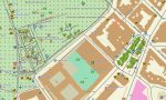
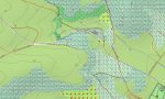
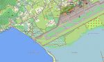
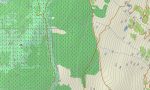


Spain Garmin topographic map
$36
Spain topo map for Garmin
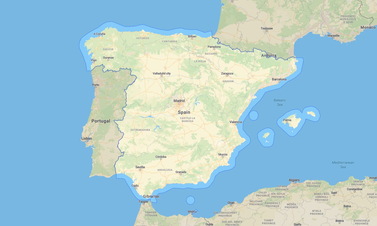
Explore Spain’s mountains, beaches, historic cities, islands, deserts, vineyards, and long-distance roads with comprehensive Garmin maps for offline navigation. This Garmin GPS map covers Madrid, Barcelona, Valencia, Seville, Bilbao, the Pyrenees, Andalusia, Galicia, Catalonia, the Balearic Islands, and the Canary Islands.
Designed as a versatile OSM map tourist Garmin solution, the map supports road trips, hiking, cycling, campervan touring, pilgrimage routes, island travel, and cultural sightseeing. These outdoor maps Garmin travelers depend on include roads, trails, rivers, coastlines, ferry points, villages, viewpoints, and tourist infrastructure.
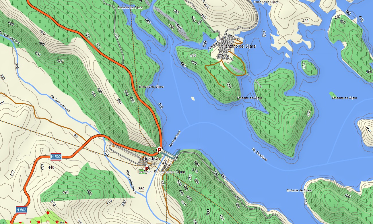
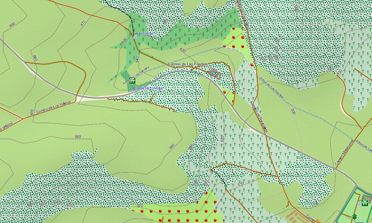
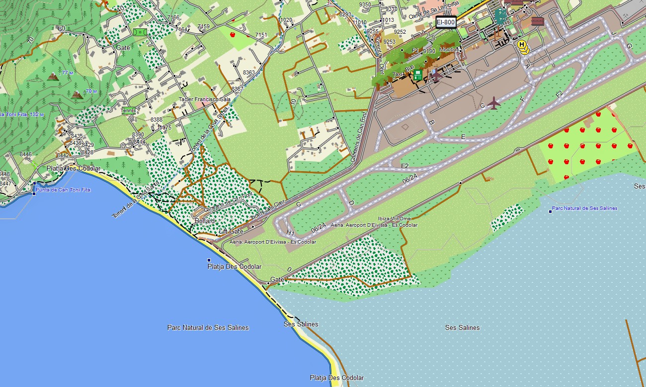
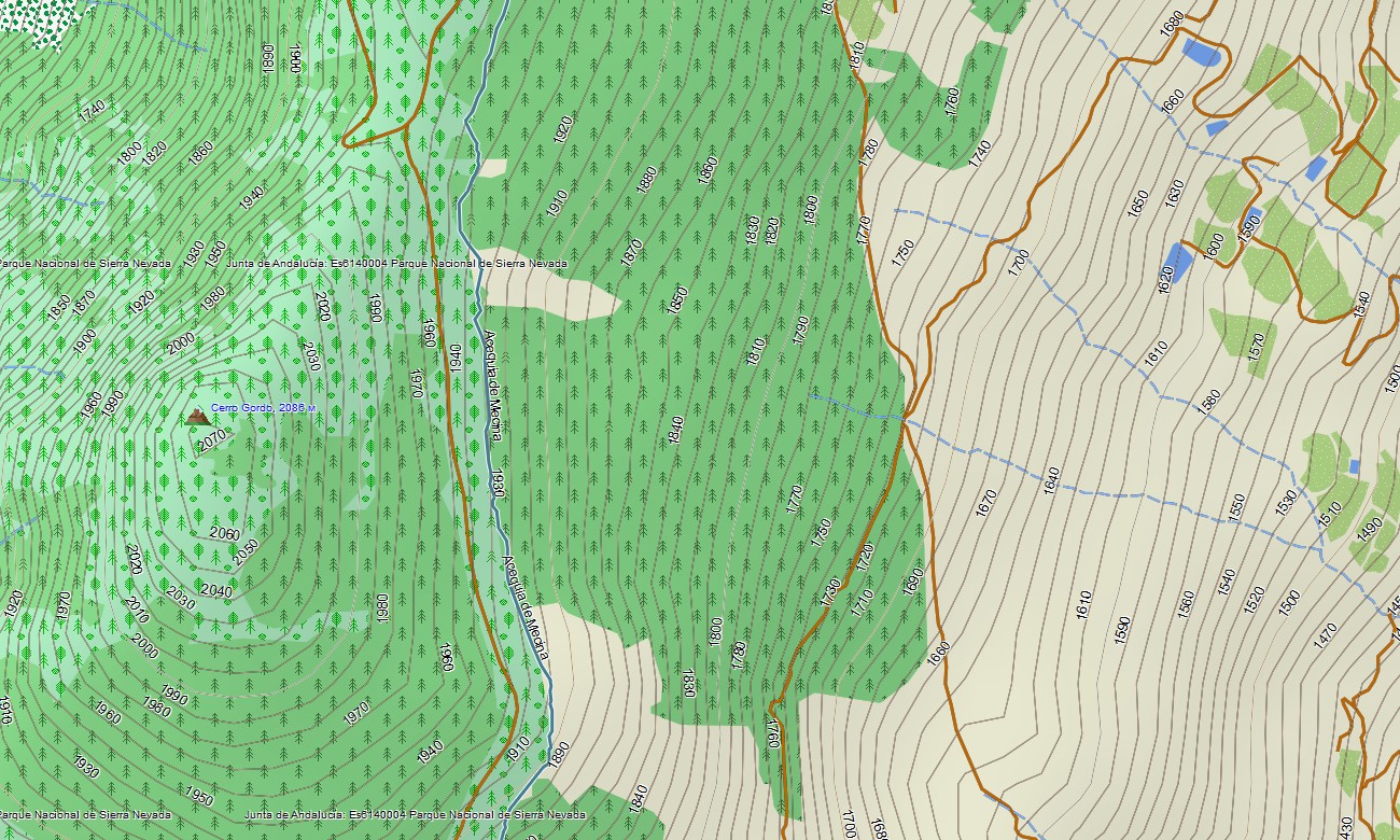
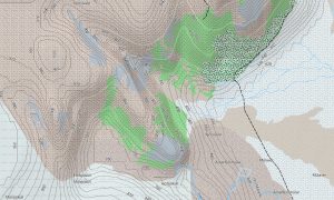
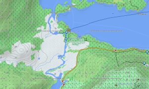
This Garmin GPS map functions as a detailed OSM topo map, displaying elevation contours, mountain ridges, valleys, volcanic terrain, coastal cliffs, rural tracks, and settlement layers. The Garmin map is especially useful in the Pyrenees, Picos de Europa, Sierra Nevada, Canary Islands, and Camino routes.
Based on open street maps Garmin compatible data, the product offers strong detail for urban areas, rural routes, islands, and outdoor destinations. After purchase, users receive an instant download Garmin map link, while Garmin OSM maps updates help maintain reliable road, trail, and point-of-interest data.
Maps for Garmin navigator devices are ideal for long-distance driving, cycling tours, ferry-connected travel, mountain access, and routes between beaches, cities, and national parks. A map for Garmin watch supports hikers, runners, cyclists, and walkers.
Key Features:
- Topographic maps for Garmin covering Spain include roads, tracks, hiking trails, cycleways, rivers, lakes, coastlines, islands, villages, and elevation contours
- Natural features include the Pyrenees, Sierra Nevada, Picos de Europa, Mediterranean coast, Atlantic beaches, Canary volcanoes, deserts, forests, and river valleys
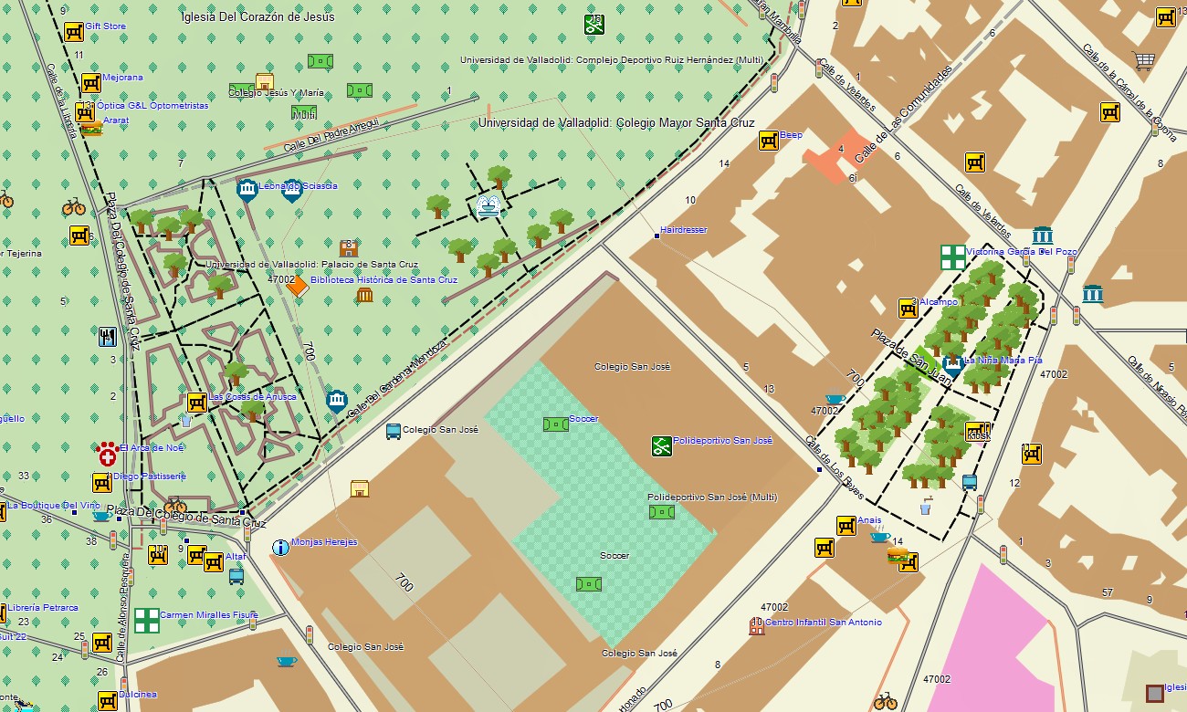
- Road coverage includes motorways, national roads, regional roads, city streets, rural lanes, mountain passes, island roads, tunnels, and ferry terminals
- Points of interest include cathedrals, castles, Roman sites, museums, beaches, viewpoints, ski resorts, campsites, vineyards, pilgrimage sites, and national parks
- Routing support allows compatible maps for Garmin navigator devices to guide city travel, long-distance routes, mountain roads, islands, and coastal journeys
- Full compatibility supports handheld Garmin GPS units, automotive navigators, cycling computers, and selected devices using a map for Garmin watch with OSM topographic maps
Only logged in customers who have purchased this product may leave a review.


Reviews
There are no reviews yet.