


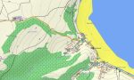
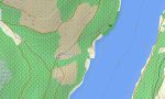
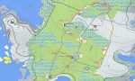
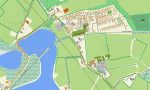

United Kingdom Garmin topographic map
$36
United Kingdom topo map for Garmin
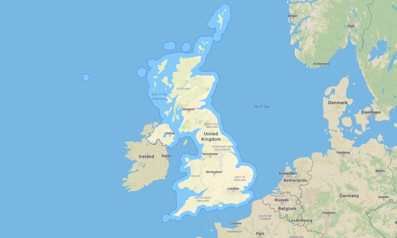
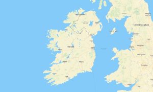
Navigate the United Kingdom with detailed Garmin maps covering England, Scotland, Wales, Northern Ireland, islands, cities, coastlines, national parks, and rural lanes. This Garmin GPS map includes London, Edinburgh, Cardiff, Belfast, Manchester, the Lake District, Scottish Highlands, Snowdonia, Cornwall, and major road networks.
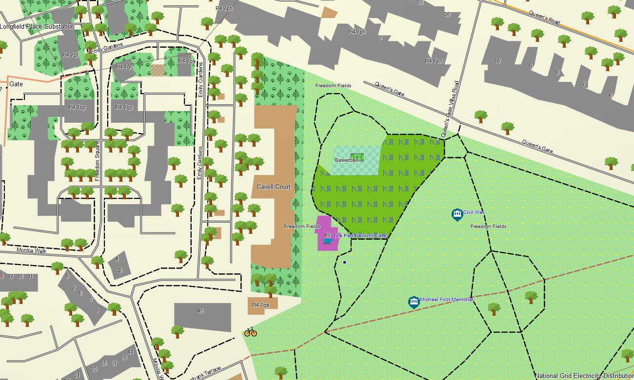
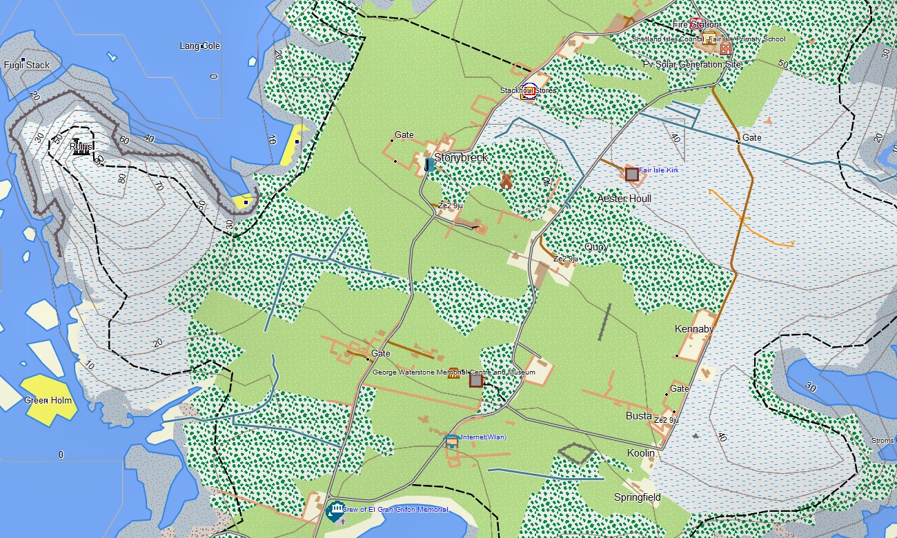
Created as a complete OSM map tourist Garmin solution, the map supports road trips, hiking, cycling, walking holidays, campervan routes, city exploration, and coastal travel. These outdoor maps Garmin travelers depend on include roads, public paths, rivers, lakes, forests, ferry routes, viewpoints, and tourist locations.
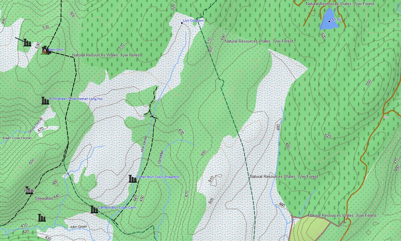
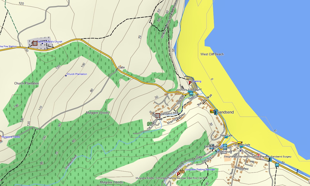
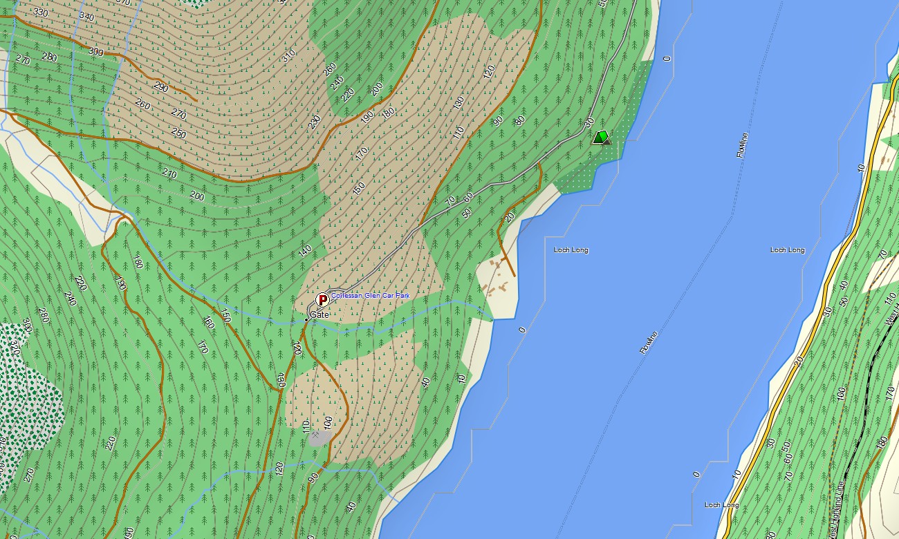
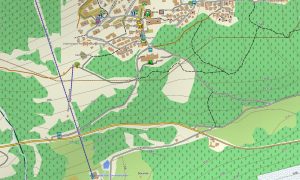
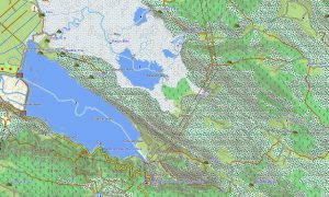
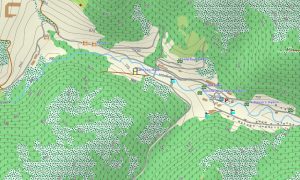
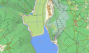
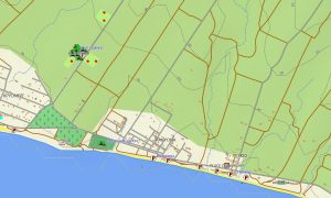
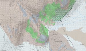
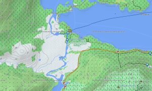
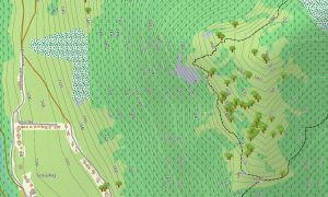
This Garmin GPS map works as a detailed OSM topo map, displaying elevation contours, moors, mountains, valleys, cliffs, islands, canals, and rural tracks. The Garmin map is especially useful in the Highlands, Peak District, Yorkshire Dales, Wales, Dartmoor, and coastal regions with dense path networks.
Using open street maps Garmin compatible data, the product provides strong coverage for cities, villages, country roads, and remote outdoor areas. After ordering, users receive an instant download Garmin map link, while Garmin OSM maps updates help maintain road, trail, and point-of-interest accuracy.
Maps for Garmin navigator devices support driving, touring, ferry access, rural navigation, and routes to castles, parks, beaches, and trailheads. A map for Garmin watch supports hikers, runners, cyclists, and walkers following outdoor or urban routes.
Key Features:
- Topographic maps for Garmin covering the United Kingdom include roads, lanes, footpaths, rivers, lakes, canals, forests, coastlines, islands, and elevation contours
- Natural features include the Scottish Highlands, Lake District, Snowdonia, Pennines, moors, cliffs, beaches, river valleys, forests, and island landscapes
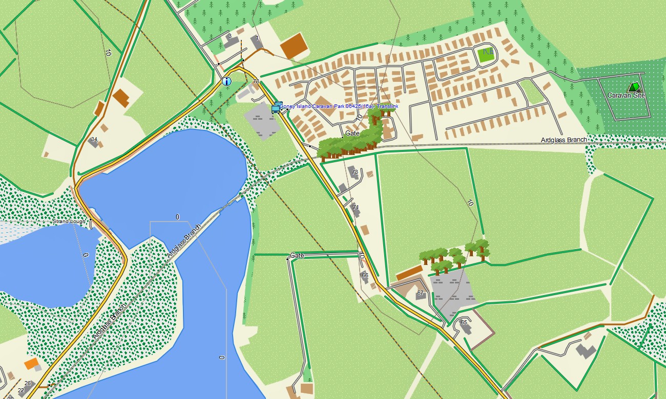
- Road coverage includes motorways, A-roads, B-roads, city streets, rural lanes, bridges, tunnels, ferry approaches, and scenic coastal routes
- Points of interest include castles, cathedrals, museums, historic towns, viewpoints, campsites, lighthouses, beaches, monuments, harbors, and national parks
- Routing support helps compatible maps for Garmin navigator devices guide city travel, countryside routes, ferry connections, and long-distance journeys
- Full compatibility is available for handheld Garmin GPS units, automotive Garmin devices, outdoor navigators, and supported models using a map for Garmin watch with OSM topographic maps
Only logged in customers who have purchased this product may leave a review.
Reviews
There are no reviews yet.