
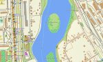
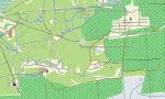
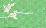
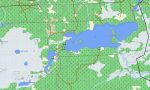
Belarus Garmin topographic map
$29
Belarus topo map for Garmin
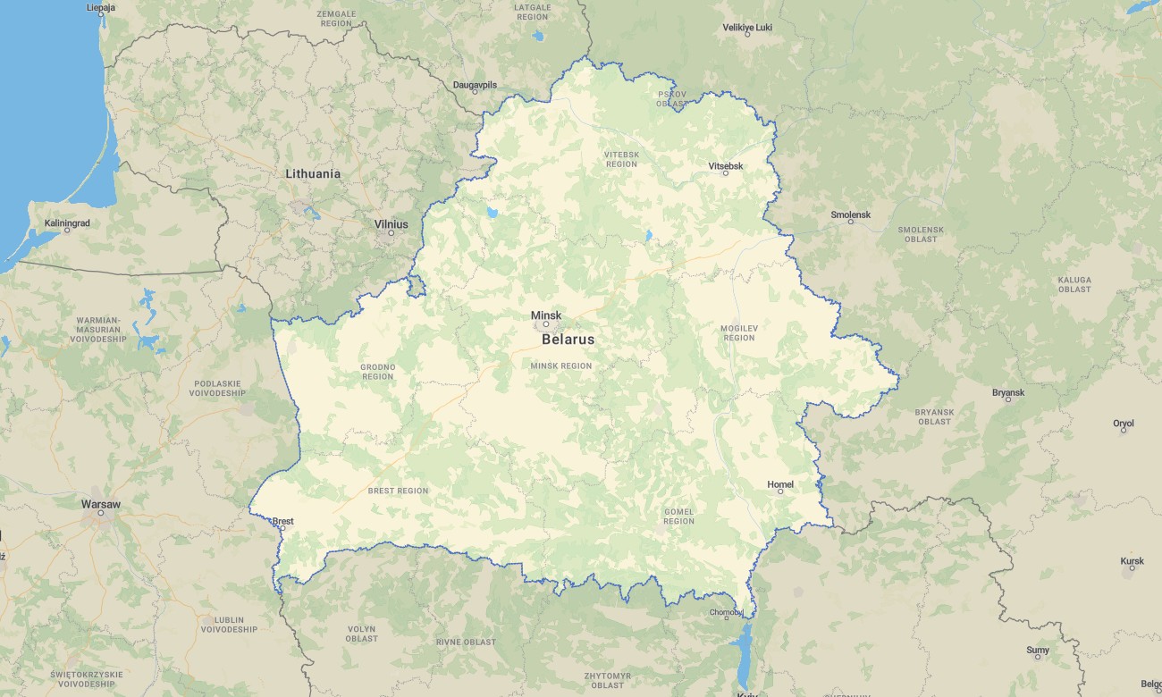
Travel across Belarus with detailed Garmin maps designed for forests, lakes, rural roads, historic towns, and wide lowland landscapes. This Garmin GPS map provides offline navigation for Minsk, Brest, Grodno, Vitebsk, Gomel, national parks, border regions, and remote countryside where dependable mapping is essential.
Built as a practical OSM map tourist Garmin resource, the map supports road trips, cycling tours, nature travel, cultural routes, and outdoor exploration. These outdoor maps Garmin users rely on include road networks, settlements, rivers, wetlands, forest tracks, and useful tourist details for independent journeys.
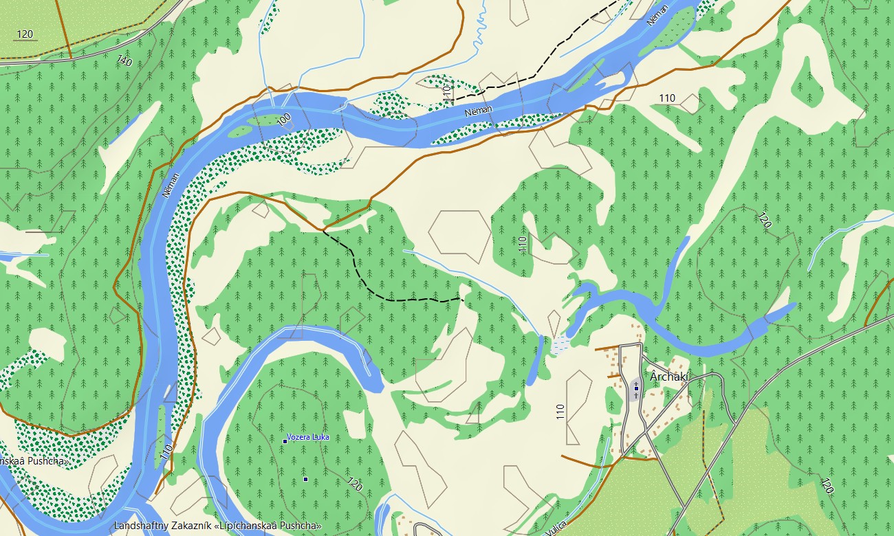
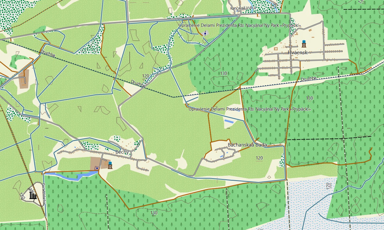
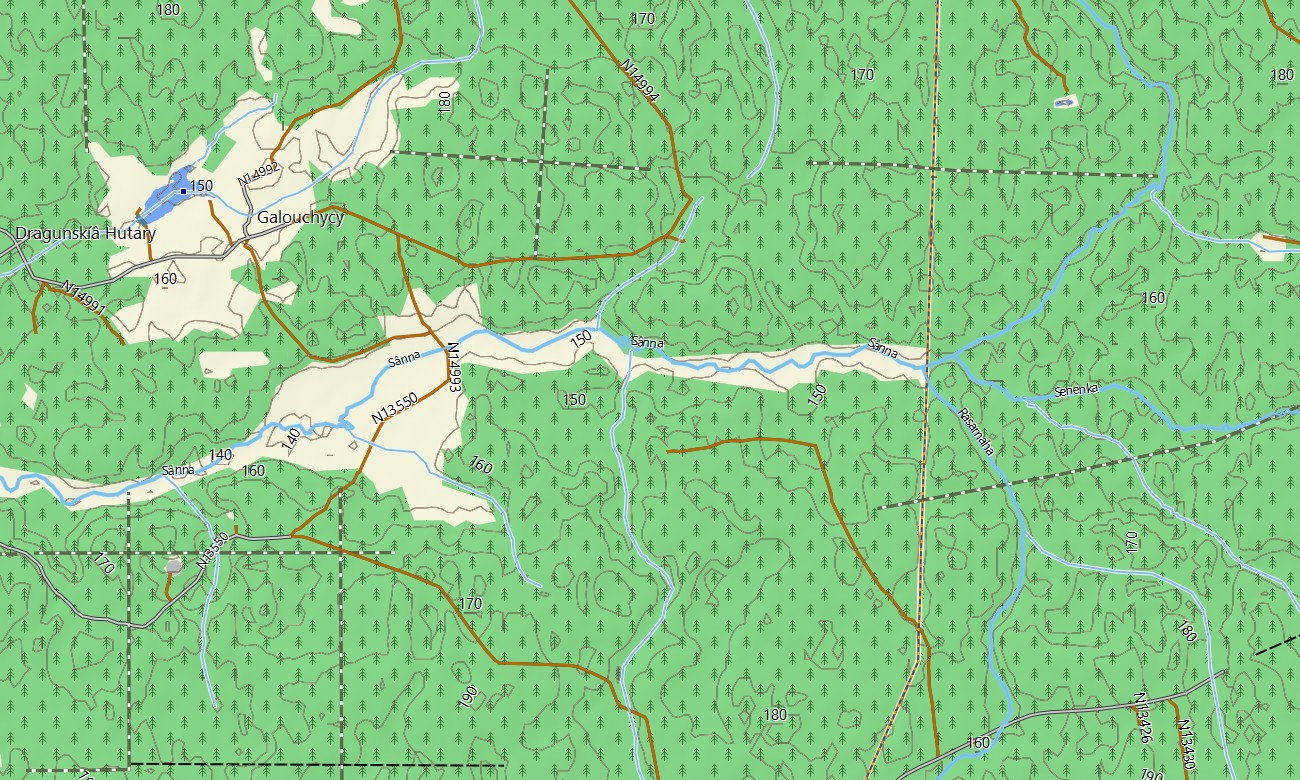
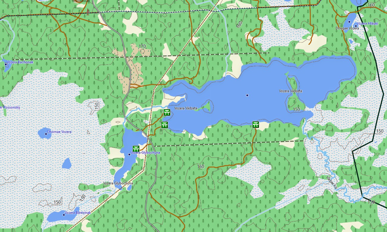
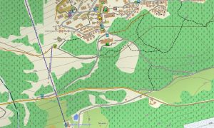
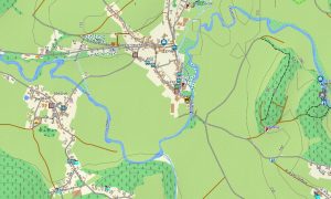
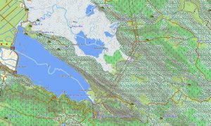
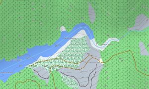
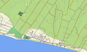
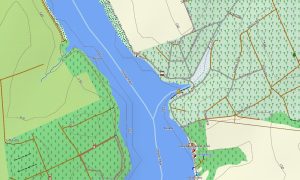
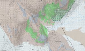
This Garmin GPS map works as an OSM topo map, presenting elevation contours, rivers, lakes, marshlands, woodland areas, tracks, and local paths. Although Belarus is mostly flat, the Garmin map helps identify river valleys, protected territories, rural access roads, and natural navigation references.
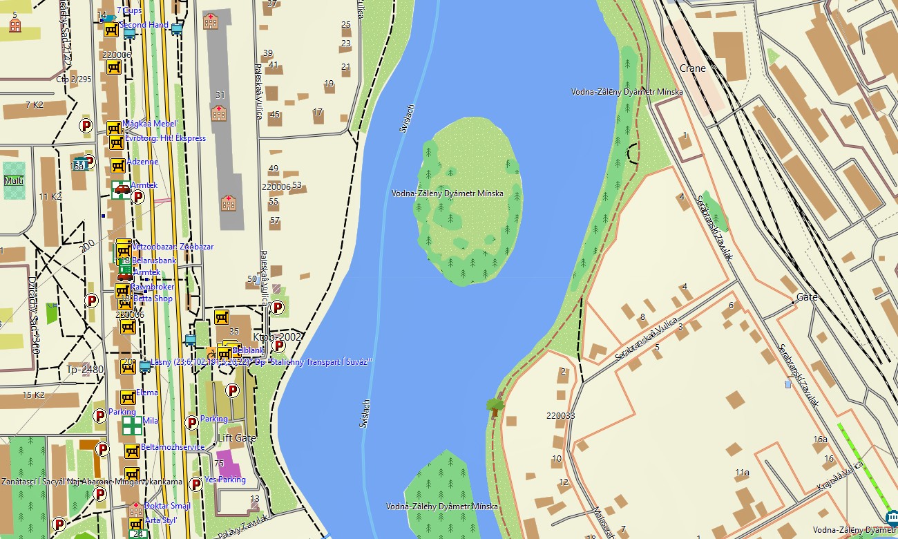
Created from open street maps Garmin compatible data, the map offers detailed coverage for urban streets and remote areas alike. Users receive an instant download Garmin map link for quick installation, while updated Garmin OSM maps help maintain reliable information for routes and points of interest.
Maps for Garmin navigator devices are useful for long-distance driving, rural travel, cycling routes, and navigation between cities, villages, reserves, and cultural destinations. A map for Garmin watch provides extra convenience for walkers, runners, and cyclists exploring parks, river paths, and countryside roads.
Key Features:
- Topographic maps for Garmin covering Belarus include roads, rural tracks, paths, rivers, lakes, wetlands, forests, towns, villages, and elevation contours
- Natural features include the Pripyat marshes, Braslav Lakes, Belovezhskaya Pushcha forest, river plains, peatlands, reservoirs, and protected lowland landscapes
- Road coverage includes national highways, regional roads, urban streets, village roads, forest tracks, border connections, and rural access routes
- Points of interest include city infrastructure, castles, memorials, churches, museums, nature reserves, lakeside recreation areas, viewpoints, railway stations, and border points
- Routing support helps compatible maps for Garmin navigator devices plan journeys across broad rural areas and major transport corridors
- Full compatibility is available for many handheld Garmin units, vehicle navigators, outdoor devices, and supported models using a map for Garmin watch with OSM topographic maps
Only logged in customers who have purchased this product may leave a review.

Reviews
There are no reviews yet.