




Bosnia and Herzegovina Garmin topographic map
$29
Bosnia and Herzegovina topo map for Garmin
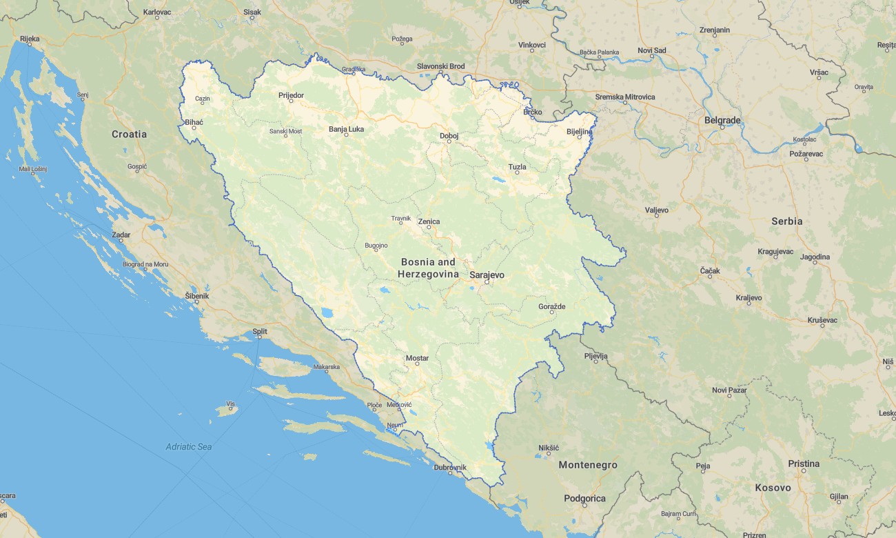
Navigate Bosnia and Herzegovina’s mountains, river canyons, historic towns, forest roads, and scenic valleys with detailed Garmin maps for offline use. This Garmin GPS map covers Sarajevo, Mostar, Banja Luka, Tuzla, Trebinje, national parks, border areas, and rugged mountain regions where precise navigation is highly valuable.
Created as an OSM map tourist Garmin resource, the map supports road trips through the Dinaric Alps, hiking near Sutjeska and Bjelašnica, cultural exploration in Ottoman-era towns, and overland travel on rural roads. These outdoor maps Garmin adventurers use combine road, trail, water, settlement, and terrain information.
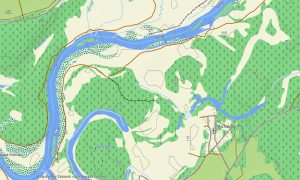
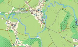
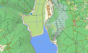
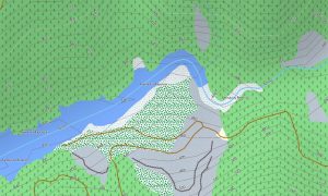
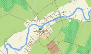
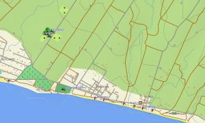
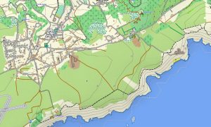
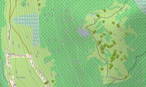
This Garmin GPS map functions as a practical OSM topo map, displaying elevation contours, mountain ridges, rivers, valleys, forests, lakes, tracks, and local paths. The Garmin map helps travelers assess difficult terrain, steep climbs, remote access roads, and canyon landscapes.
Using open street maps Garmin compatible data, the product offers strong coverage for both urban routes and remote mountain areas. After purchase, users receive an instant download Garmin map link, and Garmin OSM maps updates help keep navigation data accurate for future journeys.
Maps for Garmin navigator devices are useful for driving, motorcycle touring, hiking access, and cross-country travel. A map for Garmin watch gives hikers, runners, and cyclists convenient wrist-based route support on trails, city paths, and rural roads.
Key Features:
- Topographic maps for Garmin covering Bosnia and Herzegovina include roads, tracks, trails, rivers, lakes, forests, villages, mountains, and elevation contours
- Natural features include the Dinaric Alps, Neretva canyon, Una River, Sutjeska landscapes, karst fields, forests, waterfalls, and highland plateaus
- Road coverage includes main highways, regional roads, urban streets, mountain roads, rural lanes, forest tracks, bridges, and border connections
- Points of interest include historic bridges, old towns, mosques, monasteries, castles, memorials, viewpoints, waterfalls, rafting areas, ski centers, and national parks
- Routing support helps compatible maps for Garmin navigator devices calculate routes through valleys, cities, rural areas, and mountain corridors
- Full compatibility is available for handheld Garmin GPS units, automotive navigators, outdoor devices, and supported models using a map for Garmin watch with OSM topographic maps
Only logged in customers who have purchased this product may leave a review.

Reviews
There are no reviews yet.